Mountain Biking · Aspen, CO
Aspen Ridge Point-to-Point
Before you go
Live · nearest station Aspen, 0 miGood window today.
Thunderstorms
Feels like 53°
Storm chance
45% tonight
Wind
5 mph SSW
Distance
29.9mi round trip
Elevation gain
3,974ft
High point
11,864ft
Season
Apr - Octpeak now
About
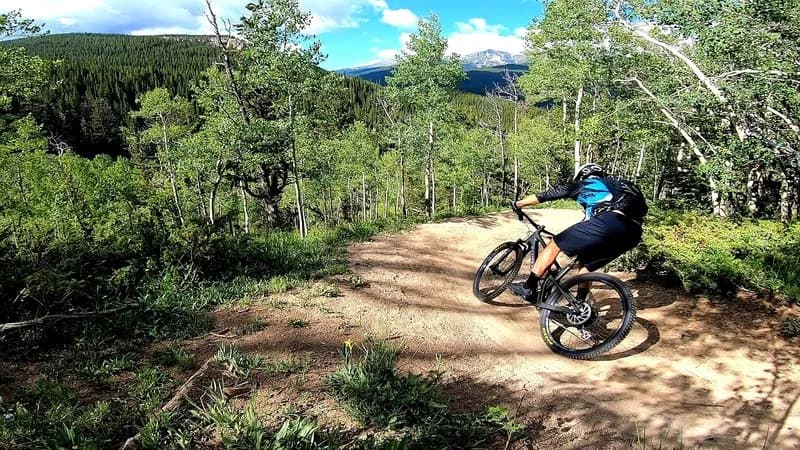
Aspen Ridge Point-to-Point is a 29.9-mile mountain biking route in Aspen, Colorado, with a moderate difficulty rating and an elevation of 7,890 feet. The ride typically takes about seven hours to complete. It runs from April through October, with parking available at the trailhead and pets permitted on the route. The terrain is primarily gravel-heavy, featuring quality two-tracks and well-maintained roads that weave through aspen groves and pine forests. Riders encounter punchy climbs and sustained descents, with the route topping out over 10,000 feet near Aspen Ridge. The area sits beneath the Collegiate Peaks, offering expansive views of Mount Princeton, Mount Yale, and Mount Antero. While most of the route is dirt, sections near Buena Vista and Salida include pavement. The trail connects to the Colorado Trail and offers plentiful camping options along the way.
Trail profile
Gain
3,974 ft
Avg grade
3%
Steepest
11%
High point
11,864 ft
Good to know
Parking at the trailhead
Dogs allowed on leash
Waypoints
Latest trail reportgood
Trail is in good condition. Traction is good with minimal obstacles.
Reported Mar 2, 2025Verified
What people say
Reviews
No reviews yet
Been here? Help the next person out.
Within 30 miles