Hiking · Aspen, CO
Aspen Trail
Before you go
Live · nearest station Aspen, 0 miGood window today. Daylight to 7:02 pm.
Thunderstorms
Feels like 62°
Storm chance
32% afternoon
Wind
5 mph NNW
UV index
0.3 low
Sun window
6:56 am to 7:02 pm
Distance
2.4mi round trip
Elevation gain
109ft
High point
7,999ft
Season
Jan - Dec
About
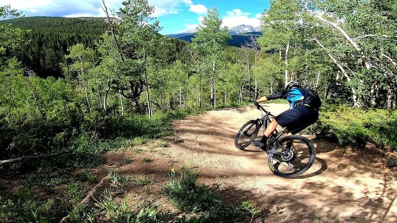
The Aspen Trail is a 2.4-mile moderate hike located in Aspen, Colorado, on the Western Slope. The trailhead sits at an elevation of 7,890 feet, with the route reaching a maximum elevation of 9,634 feet. Hikers typically complete the loop in approximately one hour. Parking is available directly at the trailhead, providing convenient access for visitors. The trail system in Aspen is managed by the Parks Department and offers both summer and winter use, making it accessible year-round. While specific water sources are not detailed in the provided records, the trail is part of a larger network that includes hard surface, soft surface, and single-track paths. The moderate difficulty level suggests a manageable climb for most hikers, with potential snow and ice requiring additional gear during winter months. The trail connects to other routes in the Roaring Fork Valley, linking Aspen with Snowmass, Woody Creek, and Basalt.
Trail profile
Gain
109 ft
Avg grade
1%
Steepest
1%
High point
7,999 ft
Good to know
Parking at the trailhead
Waypoints
Latest trail reportgood
Trail is in good condition. No significant obstacles or hazards reported.
Reported Mar 2, 2025Verified
What people say
Reviews
No reviews yet
Been here? Help the next person out.
Within 30 miles