Hiking · Durango, CO
Bakers Bridge
Before you go
Live · nearest station Durango, 13 miStorms build later today. Plan an early finish.
Thunderstorms
Feels like 59°
Storm chance
57% tonight
Wind
5 mph NE
Animas River at Durango is running 825 cfs and rising, water 55°.
Distance
—
Elevation gain
—
High point
6,741ft
Season
Jan - Dec
About
Bakers Bridge is a swimming hole and scenic stop on the Animas River, located about 15 miles north of Durango along County Road 250. The site is named for Captain Charles H. Baker, who led prospectors to the area in 1861 and established a mining camp. A historical marker near the bridge commemorates this early mining history. The location features deep water and cliffs that are popular for swimming and cliff jumping. Access is via a short walk from roadside parking just before the bridge. Much of the surrounding land is private, so visitors should respect boundaries and follow Leave No Trace principles. The trail is rated moderate, typically taking about two hours to complete, and is accessible year-round. Parking is available, and pets are allowed.
Trail profile
Gain
—
Avg grade
—
Steepest
—
High point
6,741 ft
Good to know
Parking at the trailhead
Dogs allowed on leash
Waypoints
No waypoints mapped for this trail yet.
What people say
Reviews
No reviews yet
Been here? Help the next person out.
Within 30 miles
Nearby spots
Junction West Durango Riverside Resort
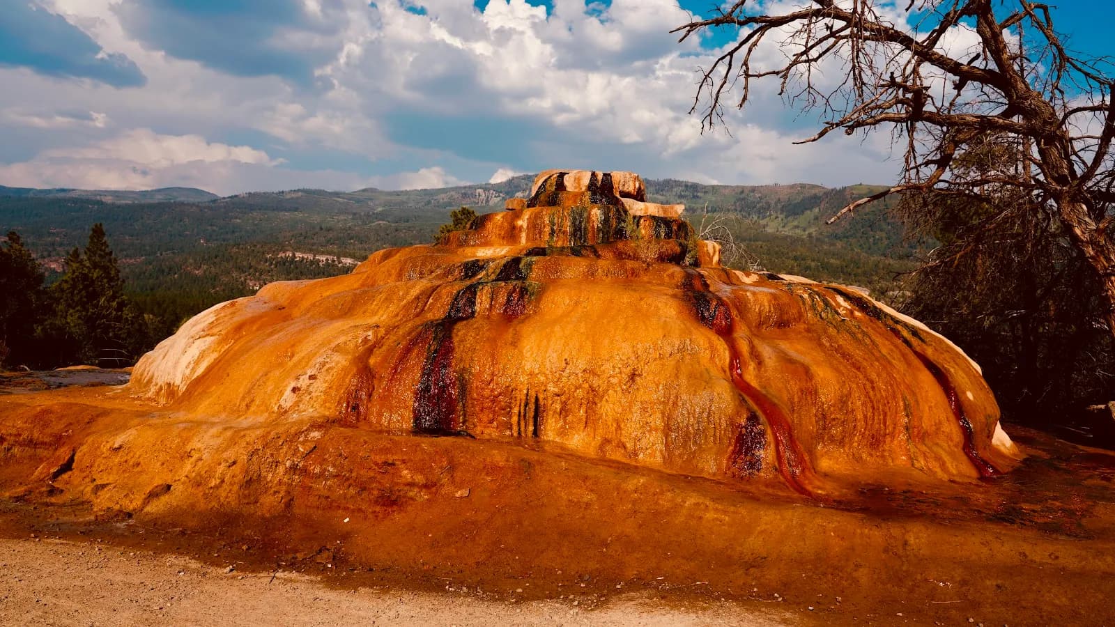
Pinkerton Hot Springs