Hiking · Telluride, CO
Ballard Mountain
Before you go
Live · nearest station Telluride, 4 miStorms are likely above treeline tonight. Start early and be off the ridge by midday.
Chance of Rain
Feels like 45°
Trailhead temp
34° est. at 12,528 ft
Storm chance
58% tonight
Wind
5 mph ESE
Distance
7.64mi round trip
Elevation gain
2,126ft
High point
12,644ft
Season
Jan - Dec
About
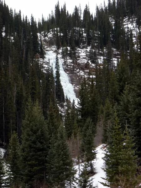
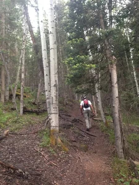
Ballard Mountain is a 12,528-foot peak located just outside Telluride on Colorado's Western Slope. The hike is classified as difficult and typically takes about five hours to complete. The route covers 7.64 miles with an elevation gain of approximately 3,882 to 4,700 feet. Most of the vertical gain occurs within the first two miles as hikers ascend steep switchbacks from the Bear Creek Trailhead. The trail begins near a footbridge crossing Bear Creek and passes through alpine forests before reaching tree line. Access is described as direct, with parking available at the trailhead. The route remains open year-round, though winter conditions may require additional gear. Hikers can expect rocky trail sections and views of the Telluride area and Silver Lake.
Trail profile
Gain
2,126 ft
Avg grade
5%
Steepest
16%
High point
12,644 ft
Good to know
Parking at the trailhead
Waypoints
Latest trail reportgood
Trail is in good condition. No significant obstacles or hazards reported.
Reported Mar 2, 2025Verified
What people say
Reviews
No reviews yet
Been here? Help the next person out.
Within 30 miles