Hiking · Gunnison, CO
Bear Creek
Before you go
Live · nearest station Gunnison, 2 miStorms build later today. Plan an early finish.
Chance of Rain
Feels like 52°
Storm chance
56% tonight
Wind
0 mph
Distance
6.1mi round trip
Elevation gain
513ft
High point
8,167ft
Season
Jan - Dec
About
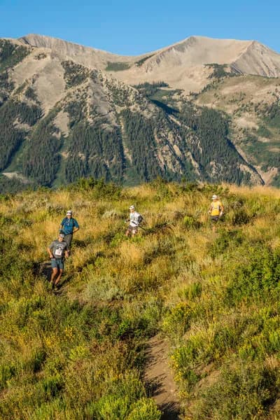
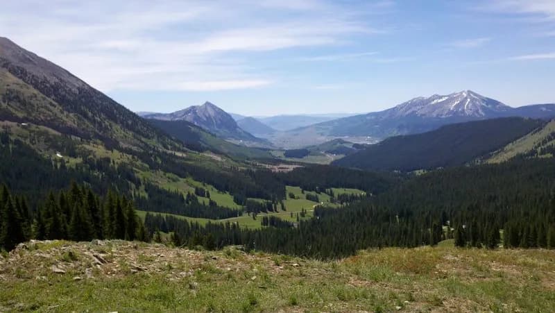
The Bear Creek Trail in Gunnison County, Colorado, is a National Recreation Trail offering access to the Yellow Jacket Mine. The route spans approximately 5.4 to 6.1 miles with an elevation range between 9,845 and 11,018 feet. Hikers encounter an elevation gain of roughly 1,000 to 1,173 feet. The trail begins at a pullout on Highway 550, just south of the tunnel, with parking available. The initial section features switchbacks that rise steadily and cross a large talus field of unstable rock. After the switchbacks, the trail narrows with steep drop-offs before leveling out as it follows the Bear Creek gorge. The route includes ledges and cliffs, which may require caution for dogs. The trail is open to hiking, biking, horseback riding, and motorcycles year-round. Typical completion times range from 3 to 4 hours. The terrain transitions through open tundra and crosses into the Uncompahgre National Forest boundary before reaching Engineer Pass. The trailhead is accessible from Ouray by traveling south on Highway 550 for two miles.
Trail profile
Gain
513 ft
Avg grade
2%
Steepest
4%
High point
8,167 ft
Good to know
Parking at the trailhead
Waypoints
Latest trail reportgood
Trail is in good condition. No significant obstacles or hazards reported.
Reported Mar 2, 2025Verified
What people say
Reviews
No reviews yet
Been here? Help the next person out.
Within 30 miles