Fall Hiking · Garfield, CO
Beaver Creek Trailhead
Before you go
Live · nearest station Glenwood Springs, 12 miGood window today. Daylight to 7:04 pm.
Cloudy
Feels like 62°
Storm chance
13% tonight
Wind
5 mph WNW
UV index
0 low
Sun window
6:58 am to 7:04 pm
Roaring Fork at Glenwood Springs is running 434 cfs, water 60°.
Distance
—
Elevation gain
—
High point
8,965ft
Season
Sep - Novin season
About
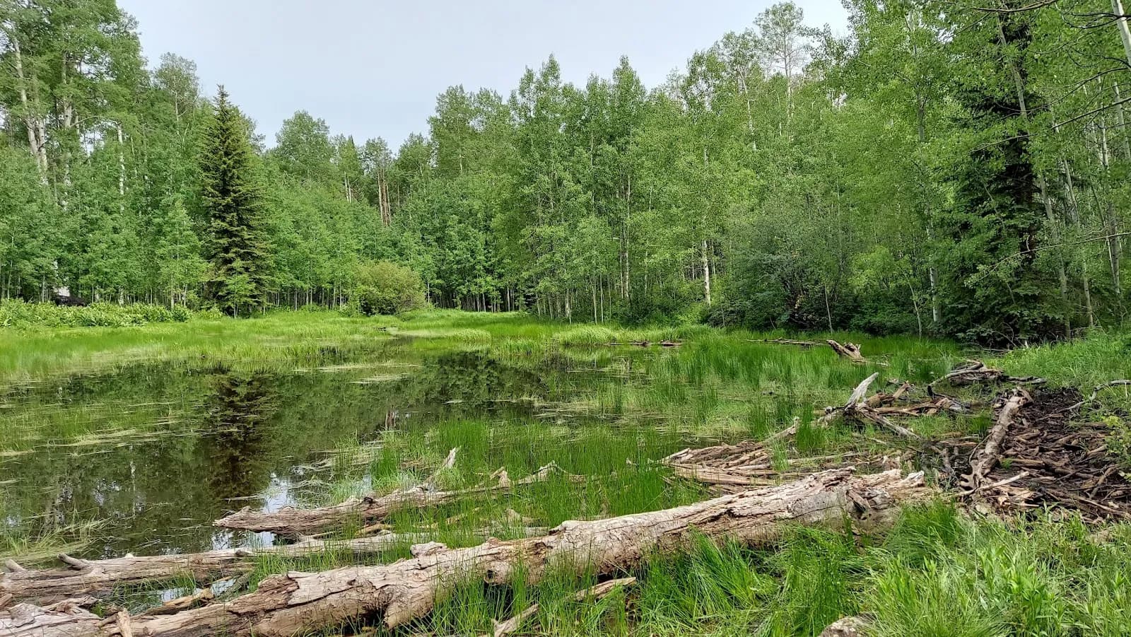
The Beaver Creek Trailhead in Garfield County, Colorado, provides access to a moderate 3.5-mile loop hike suitable for fall outings between September and November. Located near Carbondale, the trail sits within the Rifle Ranger District of the White River National Forest. Hikers can expect views of West Mamm, the Mamm Peaks, Roan Cliffs, Flat Tops, Mount Sopris, and the city of Rifle. The trail follows Beaver Creek north of Hourglass Lake and borders Comanche Reservoir before entering the Comanche Peak Wilderness. Parking is available for approximately four to sixty vehicles, depending on the specific trailhead configuration referenced. The elevation ranges from 8,965 feet at the start to higher points near trail intersections. The route is generally dry in autumn, with cooler temperatures and fallen leaves typical of the season. Pets are permitted on the trail. Trail conditions remain stable through late fall, though checking current weather after significant storms is advised.
Trail profile
Gain
—
Avg grade
—
Steepest
—
High point
8,965 ft
Good to know
Parking at the trailhead
Restrooms available
Dogs allowed on leash
Waypoints
No waypoints mapped for this trail yet.
What people say
Reviews
No reviews yet
Been here? Help the next person out.
Within 30 miles