Hiking · Telluride, CO
Blue Lake Trail
Before you go
Live · nearest station Telluride, 1 miStorms build later today. Plan an early finish.
Chance of Rain
Feels like 45°
Trailhead temp
43° est. at 9,852 ft
Storm chance
58% tonight
Wind
5 mph ESE
Distance
1.1mi round trip
Elevation gain
604ft
High point
9,879ft
Season
Jan - Dec
About
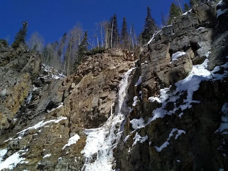
Blue Lake Trail is a hiking route near Telluride, Colorado, leading to an alpine lake at approximately 12,220 feet. The trail begins at the Top of Bridal Veil Falls and ascends through Bridal Veil Basin. Hikers encounter wildflowers, waterfalls, and historic mining structures, including tram remains, cabins, and bunkhouses. The trail is described as difficult or moderate-strenuous. The database lists the length as 1.1 miles with a typical duration of about one hour, though other sources describe the hike to Blue Lake as 6.0 miles round-trip or part of a longer system involving multiple lakes. Parking is available at the trailhead.
Trail profile
Gain
604 ft
Avg grade
10%
Steepest
10%
High point
9,879 ft
Good to know
Parking at the trailhead
Waypoints
Latest trail reportgood
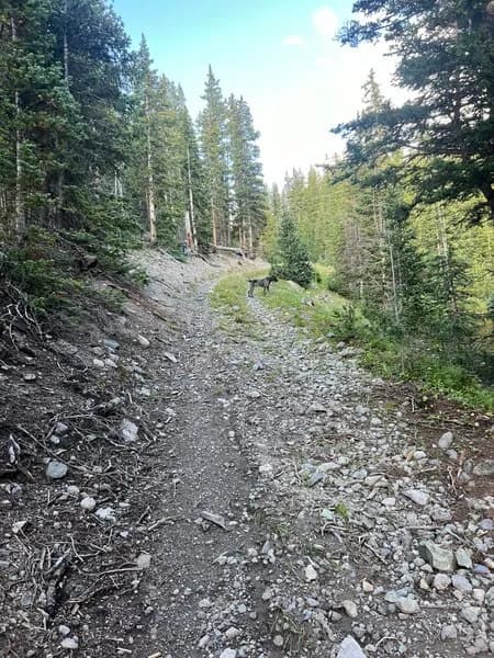
Trail is in good condition. No significant obstacles or hazards reported.
Reported Mar 2, 2025Verified
What people say
Reviews
No reviews yet
Been here? Help the next person out.
Within 30 miles