Hiking · Montrose, CO
Buck Trail
Before you go
Live · nearest station Montrose, 2 miGood window today.
Mostly Cloudy
Feels like 58°
Storm chance
12% tonight
Wind
0 mph
Distance
7.1mi round trip
Elevation gain
459ft
High point
6,273ft
Season
Jan - Dec
About
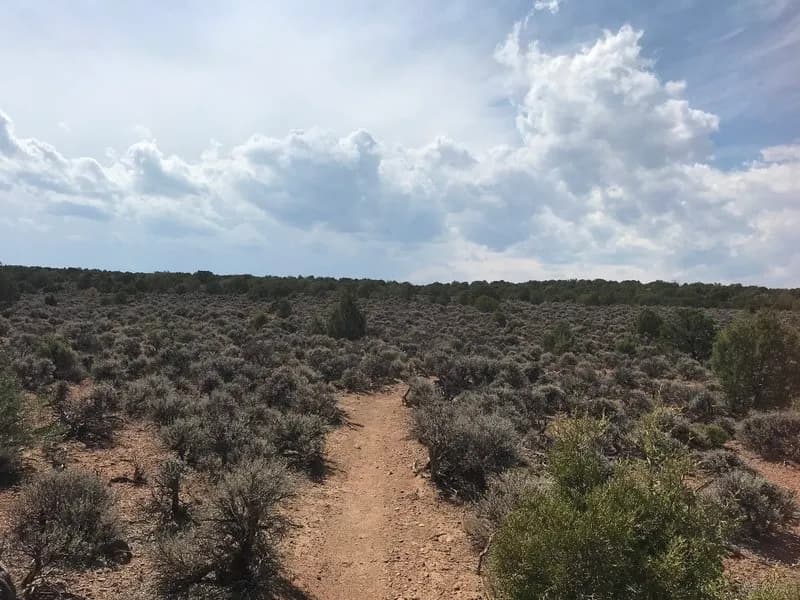
The Buck Trail is a rugged hiking and motorcycling route in the Uncompahgre National Forest, located about 30 minutes west of Montrose. The trail begins off Highway 90 near the forest boundary and Forest Road 560. It is generally considered difficult due to loose, rocky sections and root-filled descents, particularly near the start where the trail drops quickly. The route heads north before curving back south, crossing Highway 90 again. It is shared with motorbikes, which affects trail conditions. The area serves as an escape from summer heat and offers fall colors. Parking is available at the trailhead. While the trail is accessible year-round, late spring through early fall is the best time for hiking. The trail spans approximately 7.1 miles one way, with an elevation gain reaching around 9,429 feet. It is part of the National Forest System (Trail #149).
Trail profile
Gain
459 ft
Avg grade
1%
Steepest
4%
High point
6,273 ft
Good to know
Parking at the trailhead
Waypoints
Latest trail reportgood
Trail is in good condition. No significant obstacles or hazards reported.
Reported Mar 2, 2025Verified
What people say
Reviews
No reviews yet
Been here? Help the next person out.
Within 30 miles