Mountain Biking · Aspen, CO
Burlingame Connector
Before you go
Live · nearest station Aspen, 0 miGood window today.
Chance of Rain
Feels like 50°
Storm chance
28% overnight
Wind
0 mph
Distance
0.6mi round trip
Elevation gain
175ft
High point
7,786ft
Season
Apr - Octpeak now
About
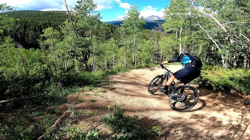
The Burlingame Connector is a short mountain biking trail in Aspen, Colorado, serving as a link between the Burlingame subdivision and the Rio Grande Trail. The route spans approximately 0.5 to 0.6 miles and sits at an elevation of 7,786 feet. It is generally classified as difficult or intermediate, featuring a wide, well-constructed dirt path carved into a steep hillside. Riders encounter large boulders, tight turns, and blind corners that require speed management. The trail provides access to the Stein Trail and connects to longer loops toward Sunnyside Trail and Buttermilk Connector. It is open for hiking, running, and biking, and is dog-friendly. Parking is available near the trailhead. The typical season runs from April through October, though conditions depend on snow and maintenance.
Trail profile
Gain
175 ft
Avg grade
6%
Steepest
7%
High point
7,786 ft
Good to know
Parking at the trailhead
Dogs allowed on leash
Waypoints
Latest trail reportgood
Trail is in good condition. Traction is good with minimal obstacles.
Reported Mar 2, 2025Verified
What people say
Reviews
No reviews yet
Been here? Help the next person out.
Within 30 miles