Rock Climbing · Silverton, CO
Burns' Gulch
Before you go
Live · nearest station Telluride, 13 miStorms build later today. Plan an early finish.
Thunderstorms
Feels like 54°
Trailhead temp
51° est. at 9,715 ft
Storm chance
58% tonight
Wind
5 mph NE
UV index
0 low
Sun window
6:59 am to 7:05 pm
Distance
—
Elevation gain
39ft
High point
9,744ft
Season
Jan - Dec
About
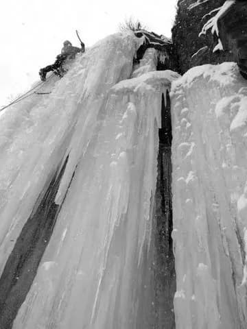
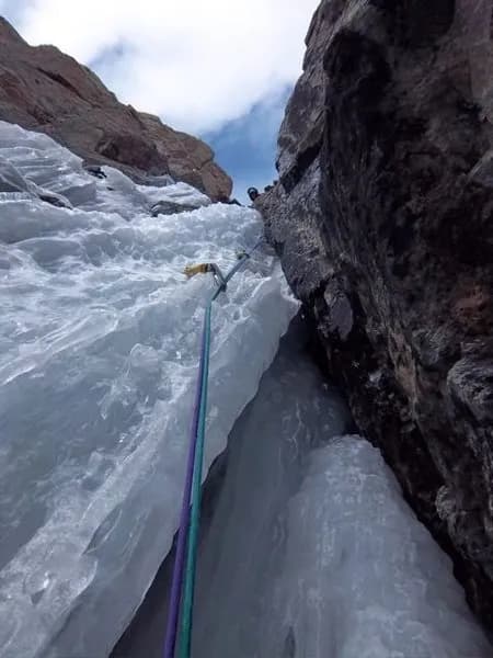
Burns' Gulch is a rock climbing area near Silverton, Colorado, situated at an elevation of 9,715 feet. The site offers moderate difficulty routes suitable for climbers with intermediate skills. Access is via County Road 2, which begins as a paved road in Silverton and transitions to a graded dirt surface. The first 2 miles are accessible to low-clearance two-wheel-drive vehicles, while the remaining distance to the trailhead involves a 4WD track that can be rough and narrow. Parking is available in flat areas near the trailhead, and the site allows pets. Climbers can expect to spend approximately 4 hours on the routes. The area is accessible year-round, though snow may block upper portions of the trail even in late summer. Water crossings over the Animas River are possible at low water levels, but a bridge is available as an alternative. The location provides views of nearby peaks including Jones Mountain and Niagara Peak.
Trail profile
Gain
39 ft
Avg grade
—
Steepest
—
High point
9,744 ft
Good to know
Parking at the trailhead
Dogs allowed on leash
Waypoints
Latest trail reportgood
Spring climbing conditions. Route may be wet after rainfall. Check weather forecast before climbing.
Reported Mar 4, 2025Verified
What people say
Reviews
No reviews yet
Been here? Help the next person out.
Within 30 miles