Hiking · Montrose, CO
Buzzard Gulch Trail
Before you go
Live · nearest station Montrose, 0 miGood window today.
Chance of Rain
Feels like 60°
Storm chance
25% afternoon
Wind
5 mph SW
Distance
2.36mi round trip
Elevation gain
35ft
High point
5,809ft
Season
Jan - Dec
About
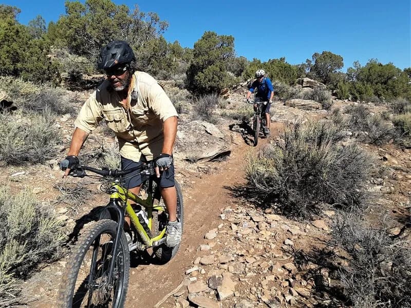
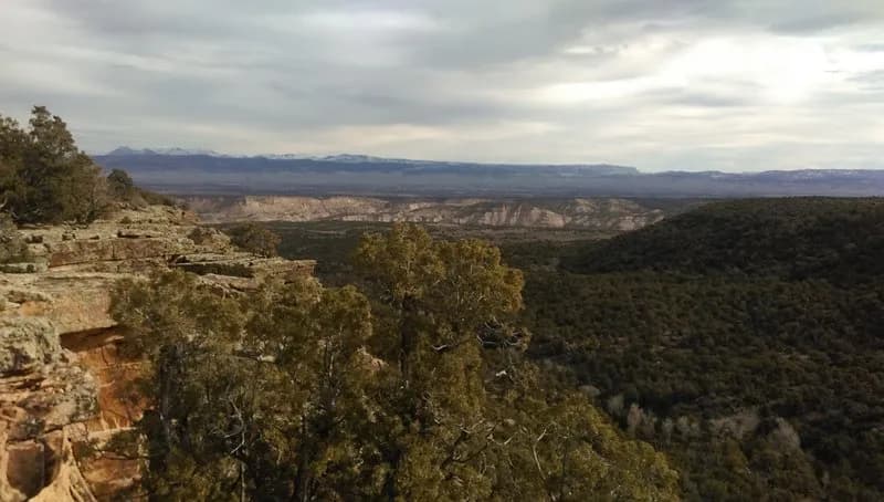
The Buzzard Gulch Trail is a 2.36-mile point-to-point route located just west of Montrose, Colorado. Classified as easy with an elevation between 6,200 and 6,800 feet, the trail typically takes about one hour to complete. The surface alternates between rocky and sandy terrain within a classic canyon country landscape. Sparse pinyon, juniper, and big sagebrush provide limited shade along the path. The trailhead is accessible via Spring Canyon Road, with additional entry points from Dave Wood Road. Parking is available at the trailhead. The route is open year-round and supports non-motorized use, including hiking, mountain biking, trail running, and horseback riding.
Trail profile
Gain
35 ft
Avg grade
0%
Steepest
0%
High point
5,809 ft
Good to know
Parking at the trailhead
Waypoints
Latest trail reportgood
Trail is in good condition. No significant obstacles or hazards reported.
Reported Mar 2, 2025Verified
What people say
Reviews
No reviews yet
Been here? Help the next person out.
Within 30 miles