Hiking · Grand Junction, CO
Canyon Rim Trail
Before you go
Live · nearest station Grand Junction, 3 miGood window today.
Mostly Cloudy
Feels like 65°
Trailhead temp
61° est. at 5,775 ft
Storm chance
2% tonight
Wind
0 mph
Gunnison River near Grand Junction is running 1,160 cfs, water 65°.
Distance
0.7mi round trip
Elevation gain
837ft
High point
5,775ft
Season
Jan - Dec
About
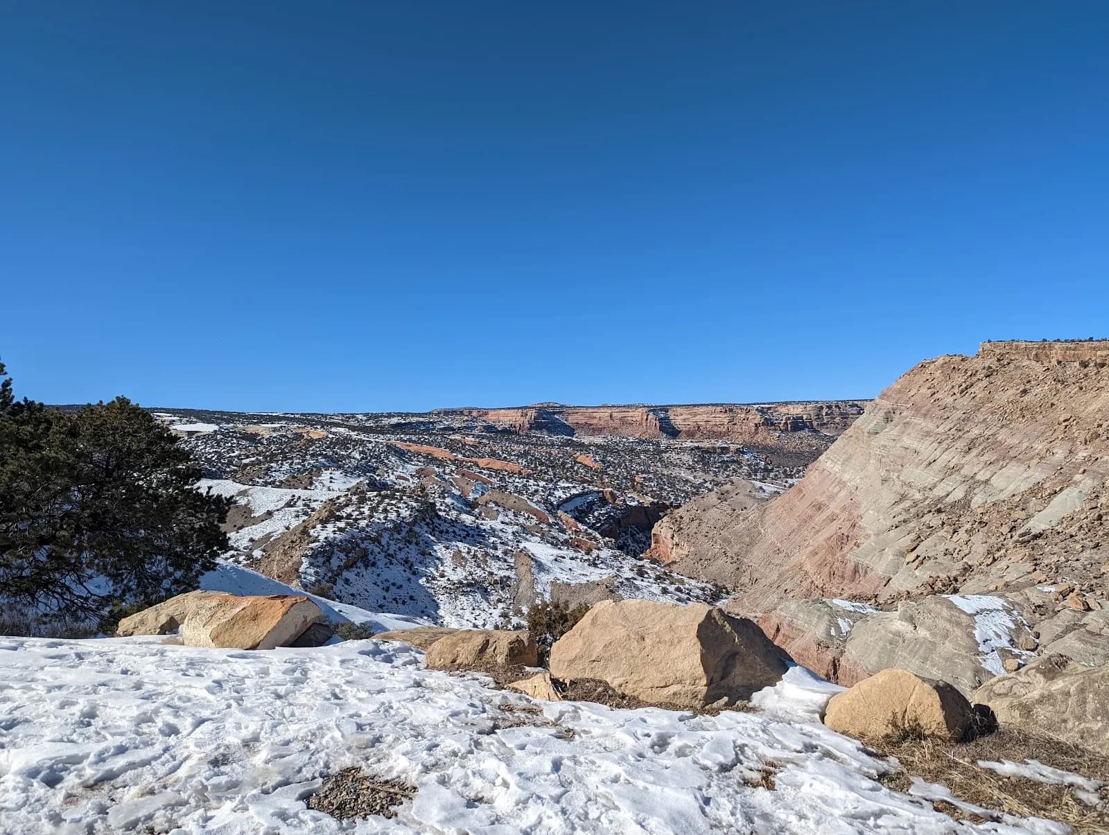
The Canyon Rim Trail is a short, level hiking path located in Colorado National Monument near Grand Junction. The trail follows the northwest rim of Wedding Canyon, connecting the Saddlehorn Visitor Center to the Book Cliffs Shelter. It runs approximately 0.5 miles one way, or about 1 mile as a round trip. The route is classified as easy to moderate and typically takes between 23 minutes and half an hour to complete. The path stays close to the cliff edge, featuring two pairs of switchbacks and railings in sections adjacent to the drop-off. This design makes it accessible for families, though parents should monitor children near the edge. The trail offers clear views of Monument Canyon landmarks, including Praying Hands and Independence Monument. It is open year-round and suitable for hiking in all months. Parking is available at the trailhead near the Visitor Center, with options for both auto and bus/RV access. The trail is designated for hiking only; horses are prohibited, and pets are not allowed anywhere in the backcountry, including on leashes or in strollers. The trail was constructed between 1963 and 1965 as part of the Mission 66 visitor center design and remains unchanged from its original layout.
Trail profile
Gain
837 ft
Avg grade
23%
Steepest
20%
High point
5,775 ft
Good to know
Parking at the trailhead
Waypoints
Latest trail reportgood
Trail is in good condition. No significant obstacles or hazards reported.
Reported Mar 2, 2025Verified
What people say
Reviews
No reviews yet
Been here? Help the next person out.
Within 30 miles