Hiking · Grand Junction, CO
Rough Canyon Loop
Before you go
Live · nearest station Grand Junction, 2 miGood window today.
Mostly Cloudy
Feels like 69°
Storm chance
5% tonight
Wind
5 mph SE
Gunnison River near Grand Junction is running 1,150 cfs, water 65°.
Distance
4.54mi round trip
Elevation gain
564ft
High point
5,164ft
Season
Jan - Dec
About
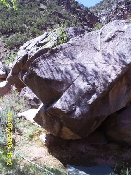
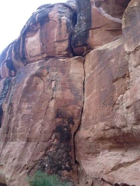
The Rough Canyon Loop is a 4.54-mile hike located in the BLM Bangs Canyon Management Area south of Grand Junction. The route descends from the parking area into the canyon, where the terrain becomes rugged with scrambling and rocky sections. Hikers can choose to return via the same path or connect with the Tabeguache Trail Four-Wheel Drive/ATV trail to complete the loop. The trail offers views of towering cliffs, deep ravines, and hidden pools, with small waterfalls appearing seasonally. Parking is available at the trailhead, but hikers must bring their own water. While accessible year-round, summer heat and winter snow affect conditions. The route is rated difficult, requiring physical endurance and sturdy boots.
Trail profile
Gain
564 ft
Avg grade
2%
Steepest
7%
High point
5,164 ft
Good to know
Parking at the trailhead
Waypoints
Latest trail reportgood
Trail is in good condition. No significant obstacles or hazards reported.
Reported Mar 2, 2025Verified
What people say
Reviews
No reviews yet
Been here? Help the next person out.
Within 30 miles