Fall Hiking · Aspen, CO
Castle Creek Trailhead
Before you go
Live · nearest station Aspen, 11 miStorms build later today. Plan an early finish.
Rain Showers Likely
Feels like 50°
Trailhead temp
44° est. at 9,739 ft
Storm chance
61% overnight
Wind
5 mph E
Distance
—
Elevation gain
—
High point
9,739ft
Season
Sep - Novin season
About
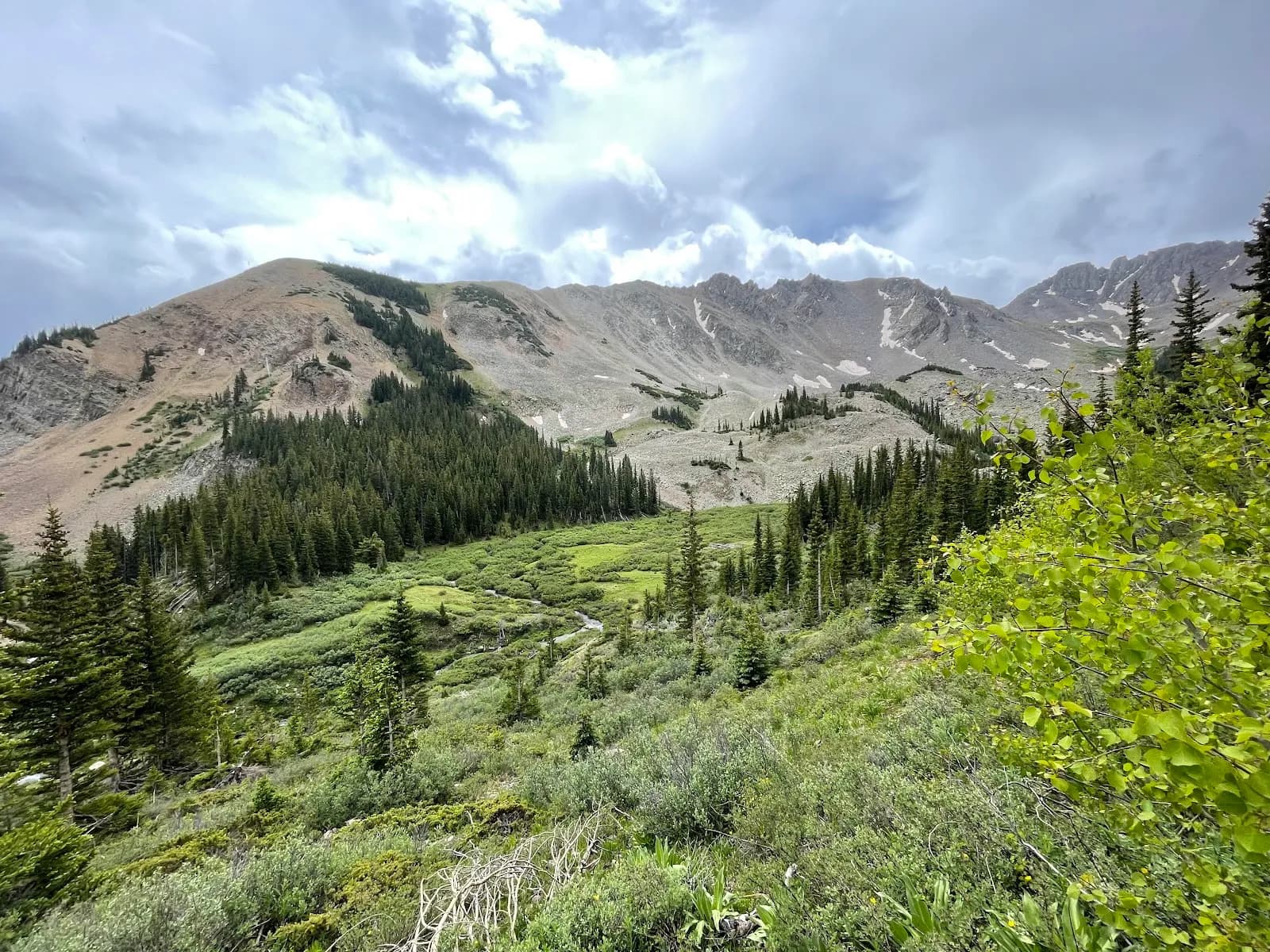
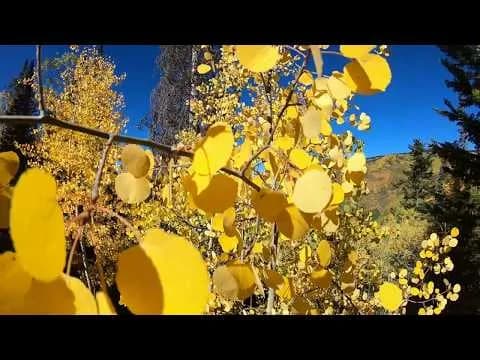
The Castle Creek Trailhead serves as the access point for hiking and driving into the Castle Creek Valley near Aspen, Colorado. The route begins at a roundabout west of Aspen center and proceeds 12.5 miles on paved road to the trailhead. From there, Forest Road 102 continues upward; passenger cars can drive approximately one mile further to reach dispersed campsites, while 4WD vehicles can access higher elevations. The trailhead is pet-friendly and offers parking and restrooms, including a pit toilet available during winter months. Fall hiking typically occurs from September through November, offering views of aspen groves and surrounding peaks. The hike is rated moderate and generally takes about two hours. Conditions vary with snowpack, but the road is often cleared of snow up to the lower trailhead during winter. The area is known for Jeep trails and hiking routes through aspen forests.
Trail profile
Gain
—
Avg grade
—
Steepest
—
High point
9,739 ft
Good to know
Parking at the trailhead
Restrooms available
Dogs allowed on leash
Waypoints
No waypoints mapped for this trail yet.
What people say
Reviews
No reviews yet
Been here? Help the next person out.
Within 30 miles