Hiking · Gunnison, CO
CDT: Highway 114 to Sargents Mesa (CO Sec. 16)
Before you go
Live · nearest station Gunnison, 2 miStorms build later today. Plan an early finish.
Thunderstorms
Feels like 55°
Storm chance
57% tonight
Wind
5 mph ENE
Distance
21mi round trip
Elevation gain
673ft
High point
8,570ft
Season
Jan - Dec
About
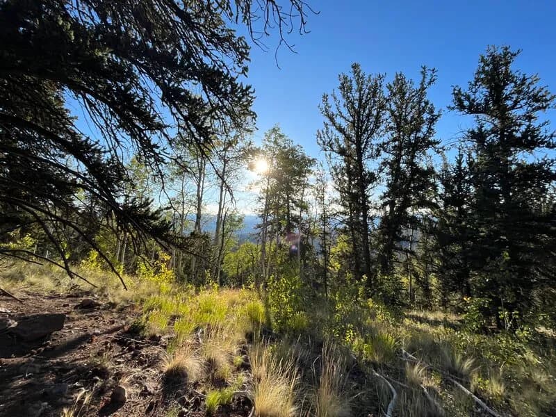
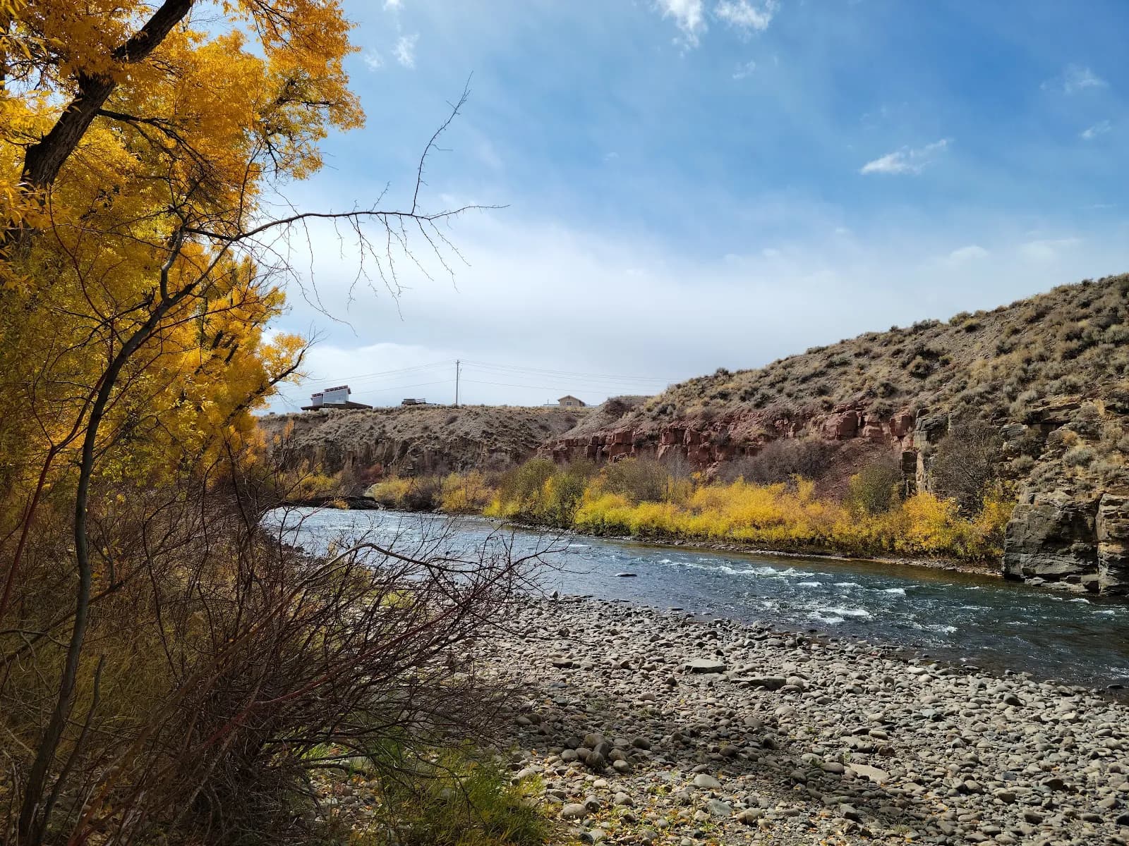
This 21-mile segment of the Continental Divide Trail connects Highway 114 to Sargents Mesa in Gunnison, Colorado. The route begins with a short road walk along the shoulder of Highway 114 before turning left onto Forest Road 785. This gravel road follows Lujan Creek upstream to a trailhead where single-track terrain begins. The trail ascends steadily and steeply to the summit of a small peak, then continues along a forested ridge for several miles. The ridgewalk is characterized by constant ups and downs rather than exposed, open views. Water is available at Razor Creek for refilling. The trail surface transitions from single track to double track as it crosses Sargents Mesa, ending with a slight descent into a meadow area near the Sargents Trailhead. The moderate difficulty rating reflects the distance and elevation changes, with a typical completion time of approximately 12 hours. The trail is open to hikers, mountain bikes, and motorcycles year-round.
Trail profile
Gain
673 ft
Avg grade
1%
Steepest
2%
High point
8,570 ft
Good to know
Parking at the trailhead
Waypoints
Latest trail reportgood
Trail is in good condition. No significant obstacles or hazards reported.
Reported Mar 2, 2025Verified
What people say
Reviews
No reviews yet
Been here? Help the next person out.
Within 30 miles