Hiking · Gunnison, CO
CDT: Saguache Park Road to Highway 114 (CO Sec. 15)
Before you go
Live · nearest station Gunnison, 2 miStorms build later today. Plan an early finish.
Thunderstorms
Feels like 55°
Storm chance
57% tonight
Wind
5 mph ENE
Distance
14.1mi round trip
Elevation gain
1,086ft
High point
8,970ft
Season
Jan - Dec
About
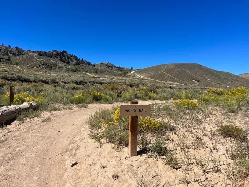
This 14.1-mile section of the Continental Divide Trail connects Saguache Park Road to Highway 114 in Gunnison, Colorado. Rated easy, the route spans approximately seven hours and sits at an elevation of 10,260 feet. The trail passes through Gunnison National Forest with varied terrain that offers limited shade and sparse water sources. Hikers should expect grazing cattle along the path, particularly in sections away from the immediate trailhead. Seasonal conditions vary significantly. Snow is common from January through May, while summer months can bring hot temperatures requiring appropriate gear. Parking is available at the trailheads for those starting or ending their hike here. Dispersed camping, designated campsites, and nearby huts are available for overnight stays within the national forest. The route is part of Colorado Section 15 of the CDT, a segment that contributes to the larger 800-mile Colorado portion of the trail. While the difficulty is listed as easy, the combination of distance and high altitude requires a moderate level of physical fitness. The trail is located near Creede, with nearby routes extending toward Wheeler Geologic Area and Halfmoon Pass. The area is accessible via CO-114, which passes through North Pass and connects to US-50 near Parlin.
Trail profile
Gain
1,086 ft
Avg grade
1%
Steepest
4%
High point
8,970 ft
Good to know
Parking at the trailhead
Waypoints
Latest trail reportgood
Trail is in good condition. No significant obstacles or hazards reported.
Reported Mar 2, 2025Verified
What people say
Reviews
No reviews yet
Been here? Help the next person out.
Within 30 miles
Nearby spots
CDT: Saguache Park Road to Highway 114 (CO Sec. 15)
Tomichi Creek State Wildlife Area