Hiking · Gunnison, CO
CDT: Tincup Pass Road to Cottonwood Pass Road (CO Sec. 21)
Before you go
Live · nearest station Gunnison, 1 miStorms build later today. Plan an early finish.
Thunderstorms
Feels like 55°
Storm chance
57% tonight
Wind
5 mph ENE
Distance
16.1mi round trip
Elevation gain
1,513ft
High point
9,108ft
Season
Jan - Dec
About
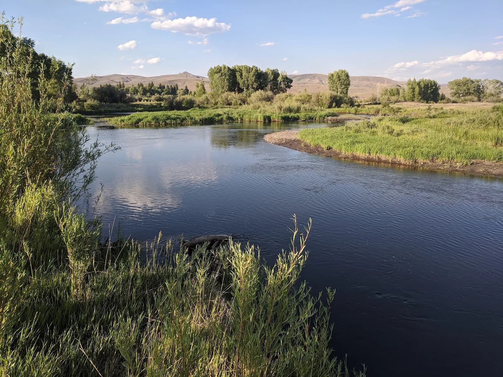
This 16.1-mile point-to-point section of the Continental Divide Trail connects Tincup Pass Road to Cottonwood Pass Road in Gunnison, Colorado. Rated difficult, the route traverses high alpine terrain with a maximum elevation of 12,839 feet and a low point of 11,078 feet. Hikers typically complete the trek in approximately 11 hours. The trail lies within the Gunnison National Forest and remains accessible year-round, though winter conditions bring potential snow and ice. Most of the path sits above timberline, exposing hikers to weather changes. Parking is available at both trailheads. The western approach follows an historic 1880s wagon road, while the eastern descent leads into Taylor Park meadows. An alternate Mirror Lake route is available near Tincup Pass Road.
Trail profile
Gain
1,513 ft
Avg grade
2%
Steepest
5%
High point
9,108 ft
Good to know
Parking at the trailhead
Waypoints
Latest trail reportgood
Trail is in good condition. No significant obstacles or hazards reported.
Reported Mar 2, 2025Verified
What people say
Reviews
No reviews yet
Been here? Help the next person out.
Within 30 miles
Nearby spots
CDT: Tincup Pass Road to Cottonwood Pass Road (CO Sec. 21)