Fall Hiking · Littleton, CO
Chatfield State Park
Before you go
Live · nearest station Aspen, 97 miGood window today. Daylight to 6:55 pm.
Thunderstorms
Feels like 62°
Trailhead temp
71° est. at 5,460 ft
Storm chance
32% afternoon
Wind
5 mph NNW
UV index
0.3 low
Sun window
6:49 am to 6:55 pm
Distance
—
Elevation gain
—
High point
5,460ft
Season
Sep - Novin season
About
Chatfield State Park in Littleton offers moderate fall hiking on 26 miles of trails. The terrain includes grasslands, wetlands, and wooded areas near the reservoir and South Platte River. Hikers can complete routes in about two hours at an elevation of 5,460 feet. The park is open September through November, providing mild weather and visible fall foliage. Parking and restrooms are available. Leashed dogs and horses are permitted on the trails.
Trail profile
Gain
—
Avg grade
—
Steepest
—
High point
5,460 ft
Good to know
Parking at the trailhead
Restrooms available
Dogs allowed on leash
Waypoints
No waypoints mapped for this trail yet.
What people say
Reviews
No reviews yet
Been here? Help the next person out.
Within 30 miles
Nearby spots
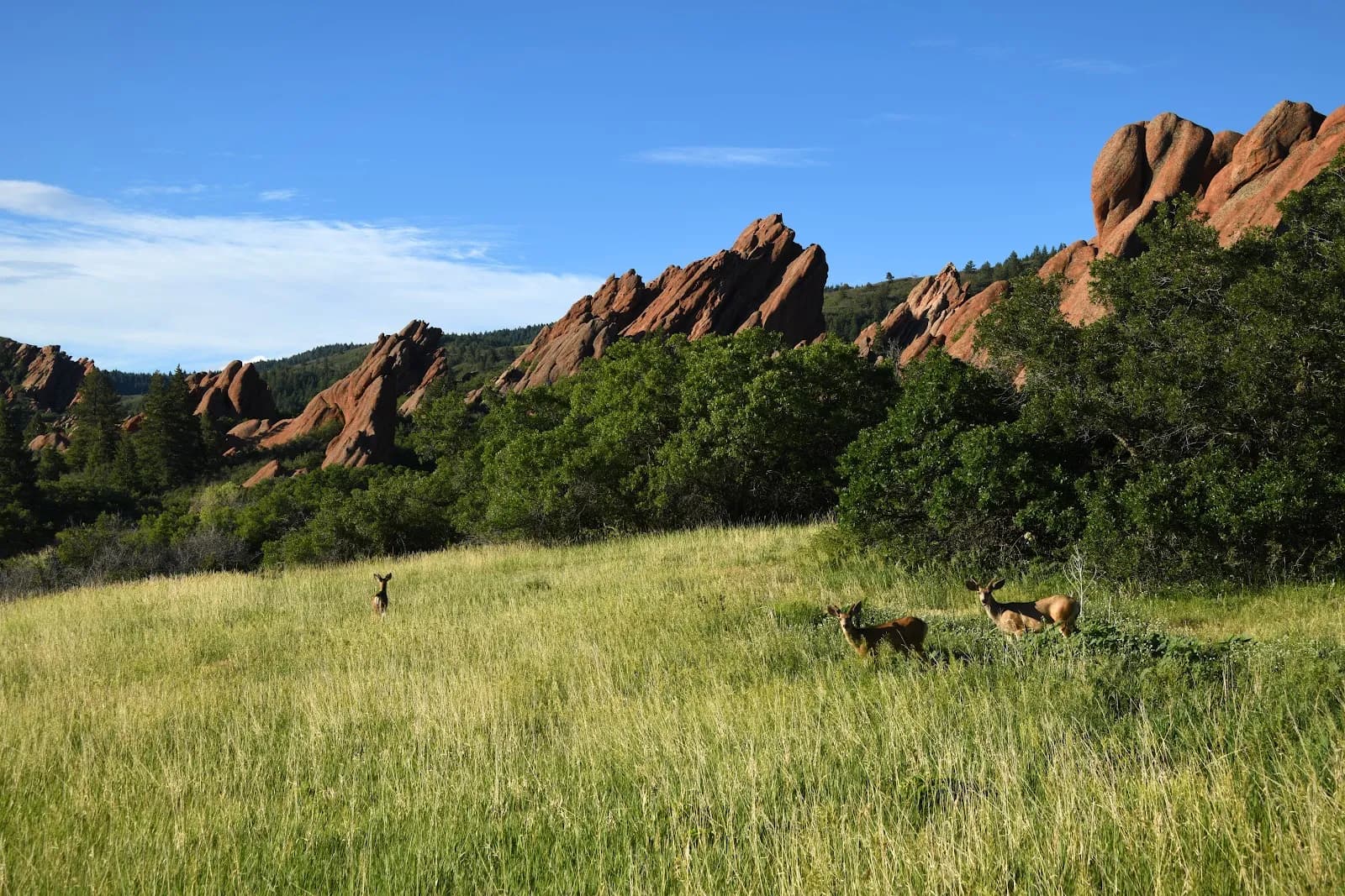
Roxborough State Park