Fall Hiking · Aurora, CO
Cherry Creek State Park
Before you go
Live · nearest station Aspen, 110 miGood window today. Daylight to 6:54 pm.
Thunderstorms
Feels like 62°
Trailhead temp
70° est. at 5,565 ft
Storm chance
32% afternoon
Wind
5 mph NNW
UV index
0.3 low
Sun window
6:48 am to 6:54 pm
Distance
—
Elevation gain
—
High point
5,565ft
Season
Sep - Novin season
About
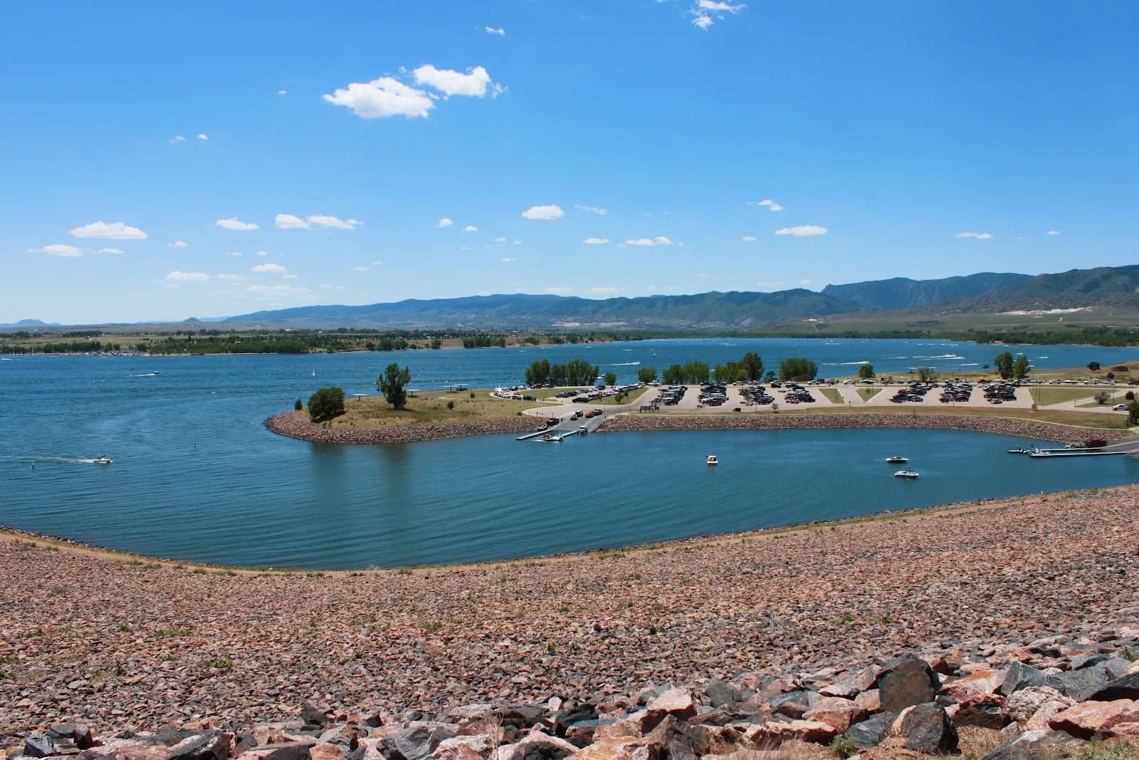
Cherry Creek State Park is a 4,200-acre recreation area in Aurora, Colorado, located within the Denver metro area. The park centers on an 880-acre reservoir and features a natural prairie landscape with gentle, rolling hills. For fall hiking, the site offers 35 miles of multiuse trails, including 15 miles of paved paths. These trails traverse grasslands and wooded areas, providing views of fall colors against the water. The terrain is generally moderate, with some gentle slopes and others with more pronounced inclines. A typical hike lasts about two hours. The park is open year-round, making it suitable for September through November visits. Amenities include parking, restrooms, camping, and picnic spots. Leashed dogs and horses are permitted on the trails.
Trail profile
Gain
—
Avg grade
—
Steepest
—
High point
5,565 ft
Good to know
Parking at the trailhead
Restrooms available
Dogs allowed on leash
Waypoints
No waypoints mapped for this trail yet.
What people say
Reviews
No reviews yet
Been here? Help the next person out.
Within 30 miles
Nearby spots
The Trails Recreation Center