Fall Hiking · Colorado Springs, CO
Cheyenne Mountain State Park
Before you go
Live · nearest station Aspen, 111 miGood window today. Daylight to 6:54 pm.
Thunderstorms
Feels like 54°
Trailhead temp
60° est. at 6,242 ft
Storm chance
45% tonight
Wind
5 mph WNW
UV index
0 low
Sun window
6:48 am to 6:54 pm
Distance
—
Elevation gain
—
High point
6,242ft
Season
Sep - Novin season
About
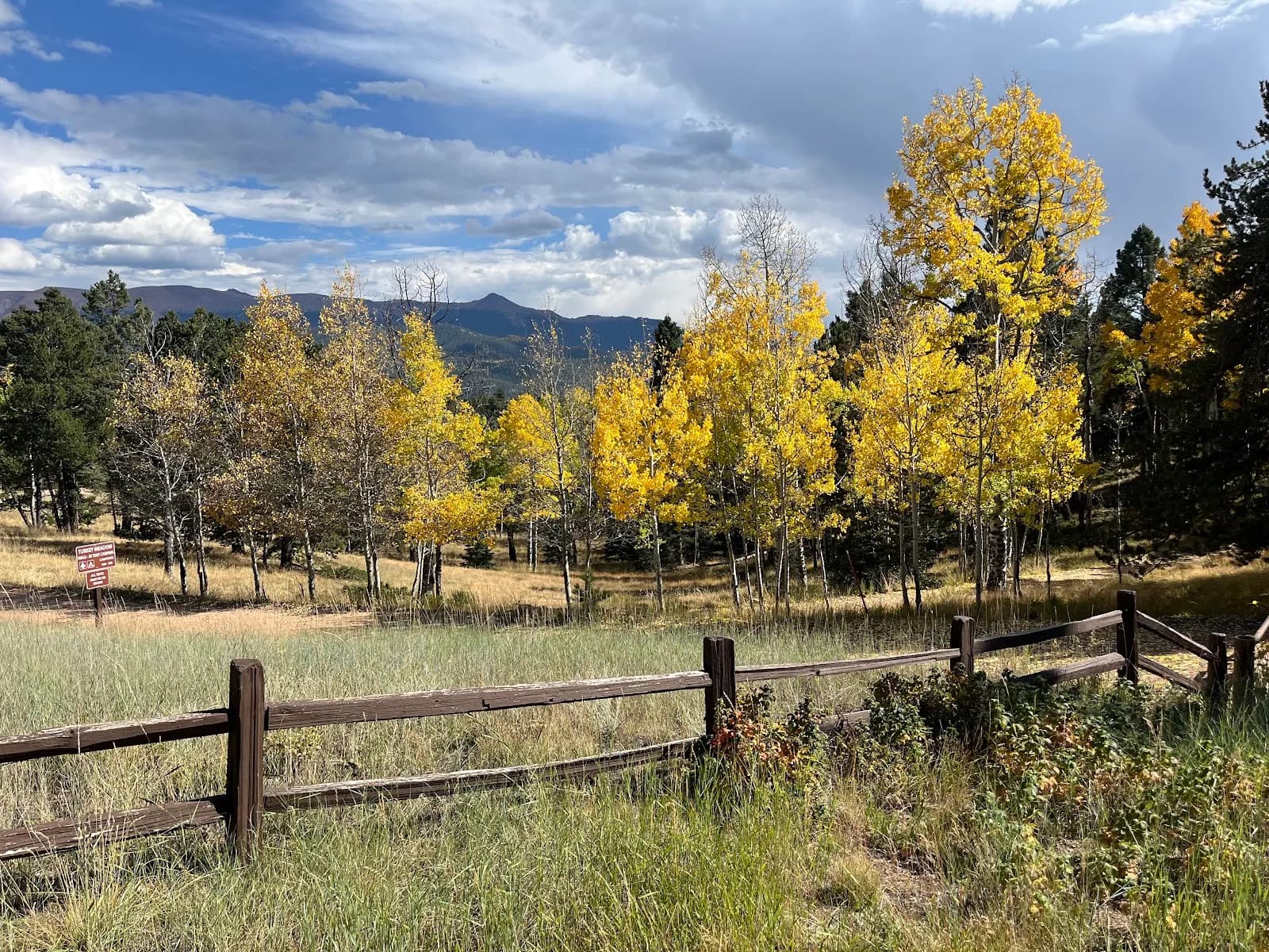
Cheyenne Mountain State Park in Colorado Springs offers moderate fall hiking on trails ranging from easy to extreme. The park spans 2,701 acres beneath the eastern flank of Cheyenne Mountain, featuring a transition from prairie grasslands to ponderosa pine and Douglas fir woodlands. Hikers typically spend about two hours on the trails, which total over 27 miles and cover distances varying from short loops to peak-to-valley routes. The season for fall hiking runs from September through November, when Gambel oak and other trees display changing colors. Access is straightforward with parking available and an entrance fee of $10 to $15 for vehicles. The park is pet friendly, allowing leashed dogs on designated trails, and also permits horses. Amenities include restrooms, 22 day-use picnic sites with tables and grills, and an archery range. The trail system includes the Dixon Trail, which reaches the summit, providing views of the surrounding landscape and evidence of ancient geological formations.
Trail profile
Gain
—
Avg grade
—
Steepest
—
High point
6,242 ft
Good to know
Parking at the trailhead
Restrooms available
Dogs allowed on leash
Waypoints
No waypoints mapped for this trail yet.
What people say
Reviews
No reviews yet
Been here? Help the next person out.
Within 30 miles
Nearby spots
Cottonwood Creek Park
Colorado Campground