Fall Hiking · Montrose, CO
Chukar Trailhead
Before you go
Live · nearest station Delta County, 9 miGood window today.
Cloudy
Feels like 63°
Trailhead temp
59° est. at 5,962 ft
Storm chance
17% tonight
Wind
5 mph ESE
Distance
—
Elevation gain
—
High point
5,962ft
Season
Sep - Novin season
About
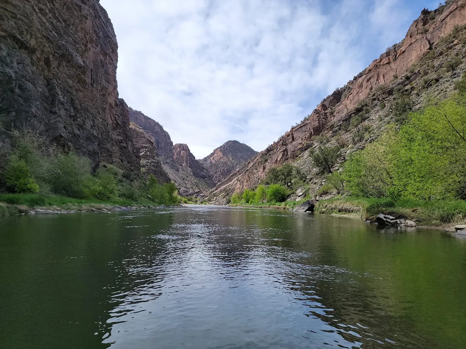
The Chukar Trailhead in Montrose, Colorado, serves as the primary access point for the Gunnison Gorge Wilderness, specifically providing boat launch capabilities for the Gunnison River. Located approximately seven miles north of Montrose, the trailhead is situated within the Gunnison Gorge National Conservation Area. The site features a large parking lot, picnic tables, and vault toilets. Amenities extend to four campsites equipped with shade structures and fire rings, along with a self-serve fee station for wilderness permits. The trail itself is a 2.2-mile out-and-back route that descends Chukar Wash. It is generally considered moderately challenging and takes an average of 1 hour and 15 minutes to complete. The trail is suitable for hiking, backpacking, and fishing, and allows dogs on a leash. Access is available year-round, though the optimal hiking window is April through November. During the fall season, conditions are typically dry with rocky terrain.
Trail profile
Gain
—
Avg grade
—
Steepest
—
High point
5,962 ft
Good to know
Parking at the trailhead
Restrooms available
Dogs allowed on leash
Waypoints
No waypoints mapped for this trail yet.
What people say
Reviews
No reviews yet
Been here? Help the next person out.
Within 30 miles