Hiking · Montrose, CO
Wave Eagle OHV Trail
Before you go
Live · nearest station Delta County, 7 miGood window today.
Cloudy
Feels like 69°
Storm chance
9% afternoon
Wind
5 mph W
Uncompahgre River at Delta is running 434 cfs, water 62°.
Distance
—
Elevation gain
—
High point
5,597ft
Season
Jan - Dec
About
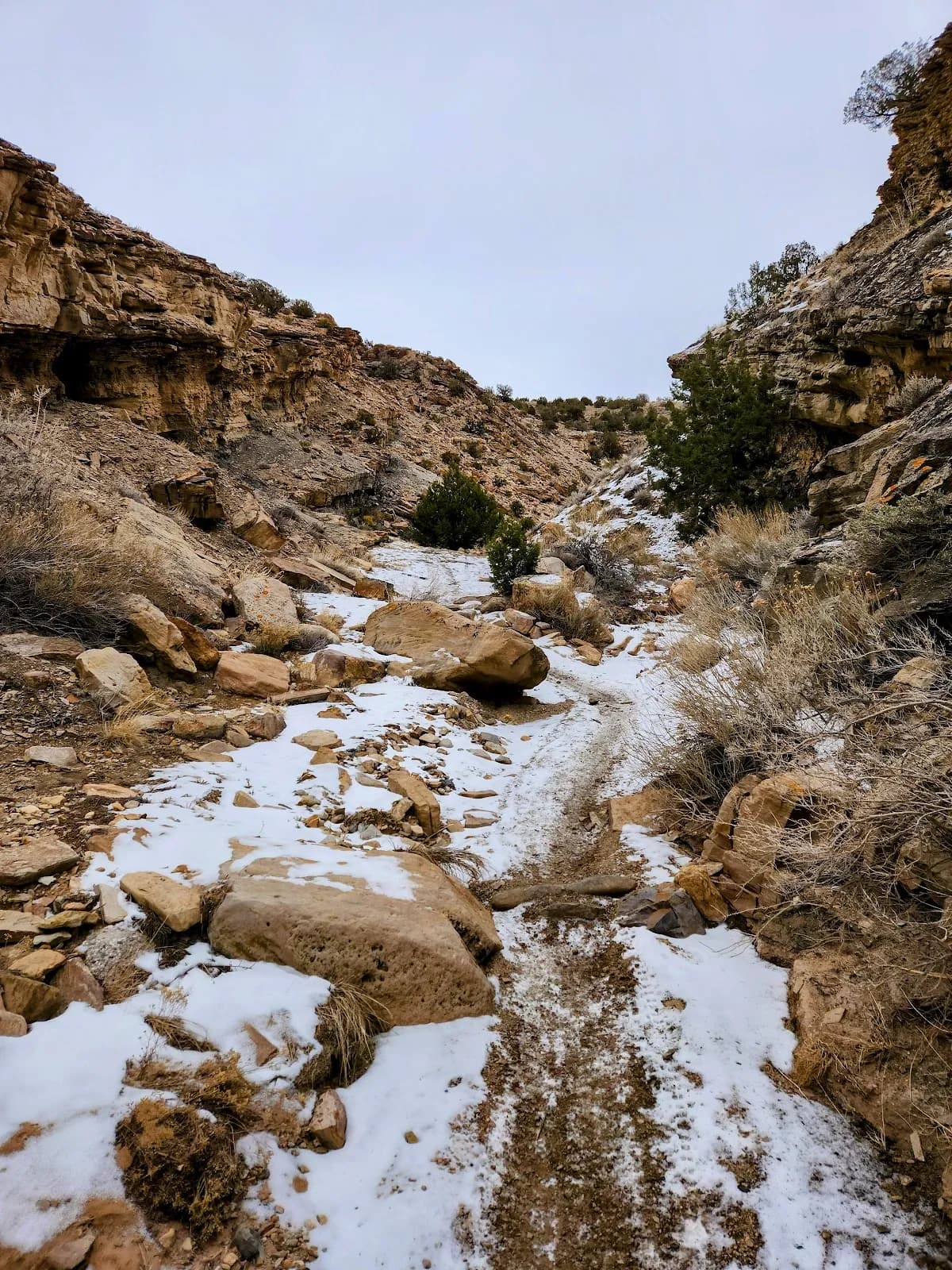
The Wave Eagle OHV Trail, also known as the Wave-Eagle Loop, is a moderate hiking route located in the Peach Valley OHV Area north of Montrose, Colorado. The trail lies within the Gunnison Gorge National Conservation Area and offers a 4.1-mile loop that takes approximately two hours to complete. Hikers begin on an ATV off-road area before climbing a steep ridge with panoramic views of Gunnison Gorge. The route reaches the crest of Brush Point's ridge and returns via a rocky OHV road, tying into the Eagle Valley Trail. The trail is open year-round and allows shared use with off-highway vehicles, including cross-country motorcycles and ATVs. Parking is available at the trailhead. The elevation sits at 5,597 feet. While designated for OHV travel, the trail is suitable for hiking and birding. User reports indicate a moderate difficulty level, with some rocky terrain requiring attention during the climb. The best visiting times are generally March through September.
Trail profile
Gain
—
Avg grade
—
Steepest
—
High point
5,597 ft
Good to know
Parking at the trailhead
Dogs allowed on leash
Waypoints
No waypoints mapped for this trail yet.
What people say
Reviews
No reviews yet
Been here? Help the next person out.
Within 30 miles