Fall Hiking · Montrose, CO
Eagle Valley Trailhead
Before you go
Live · nearest station Montrose, 9 miGood window today.
Thunderstorms
Feels like 71°
Storm chance
15% afternoon
Wind
5 mph NW
Uncompahgre River at Delta is running 434 cfs, water 62°.
Distance
—
Elevation gain
—
High point
5,712ft
Season
Sep - Novin season
About
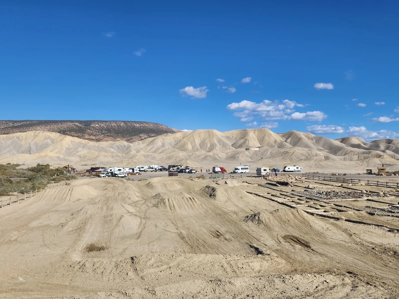
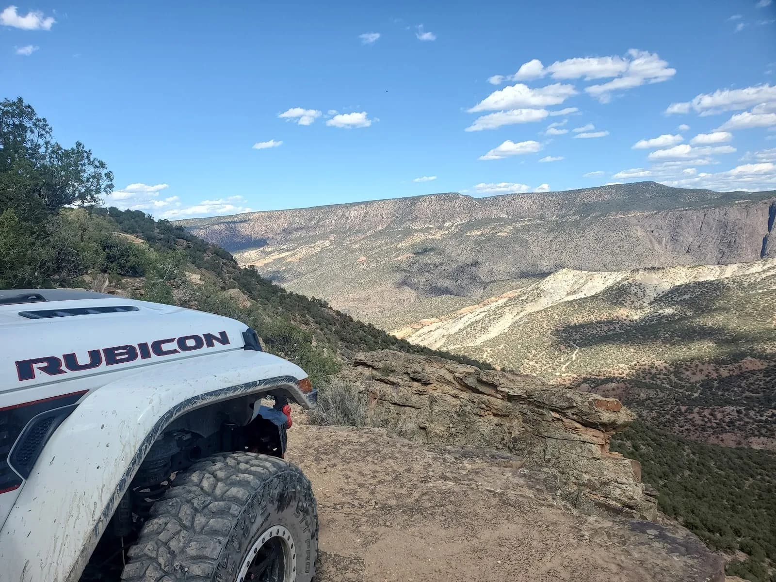
The Eagle Valley Trailhead in Montrose provides access to the Eagle Valley Trail within the Gunnison Gorge National Conservation Area. The trail is a 2-mile round trip out-and-back route that climbs from the river valley onto a mesa. This elevation gain offers views of Ridgway Reservoir, the Sneffels Range, and the Cimarron Range. The terrain consists of adobe badland formations and a scenic canyon that can be narrow in places. The trail is shared with mountain bikers, motorcycles, and horses. It is rated as easy to moderate difficulty and typically takes about 2 hours to complete. Parking is available at the trailhead, and the trail is pet-friendly. While the trail is accessible year-round, lower elevation hikes are suitable for cooler months. The specific trailhead is located near US 6, west of the Duck Pond Open Space.
Trail profile
Gain
—
Avg grade
—
Steepest
—
High point
5,712 ft
Good to know
Parking at the trailhead
Restrooms available
Dogs allowed on leash
Waypoints
No waypoints mapped for this trail yet.
What people say
Reviews
No reviews yet
Been here? Help the next person out.
Within 30 miles