Fall Hiking · Montrose, CO
Peach Valley OHV
Before you go
Live · nearest station Montrose, 8 miGood window today. Daylight to 7:06 pm.
Thunderstorms
Feels like 71°
Storm chance
15% afternoon
Wind
5 mph NW
UV index
0.5 low
Sun window
7:00 am to 7:06 pm
Distance
—
Elevation gain
—
High point
5,624ft
Season
Sep - Novin season
About
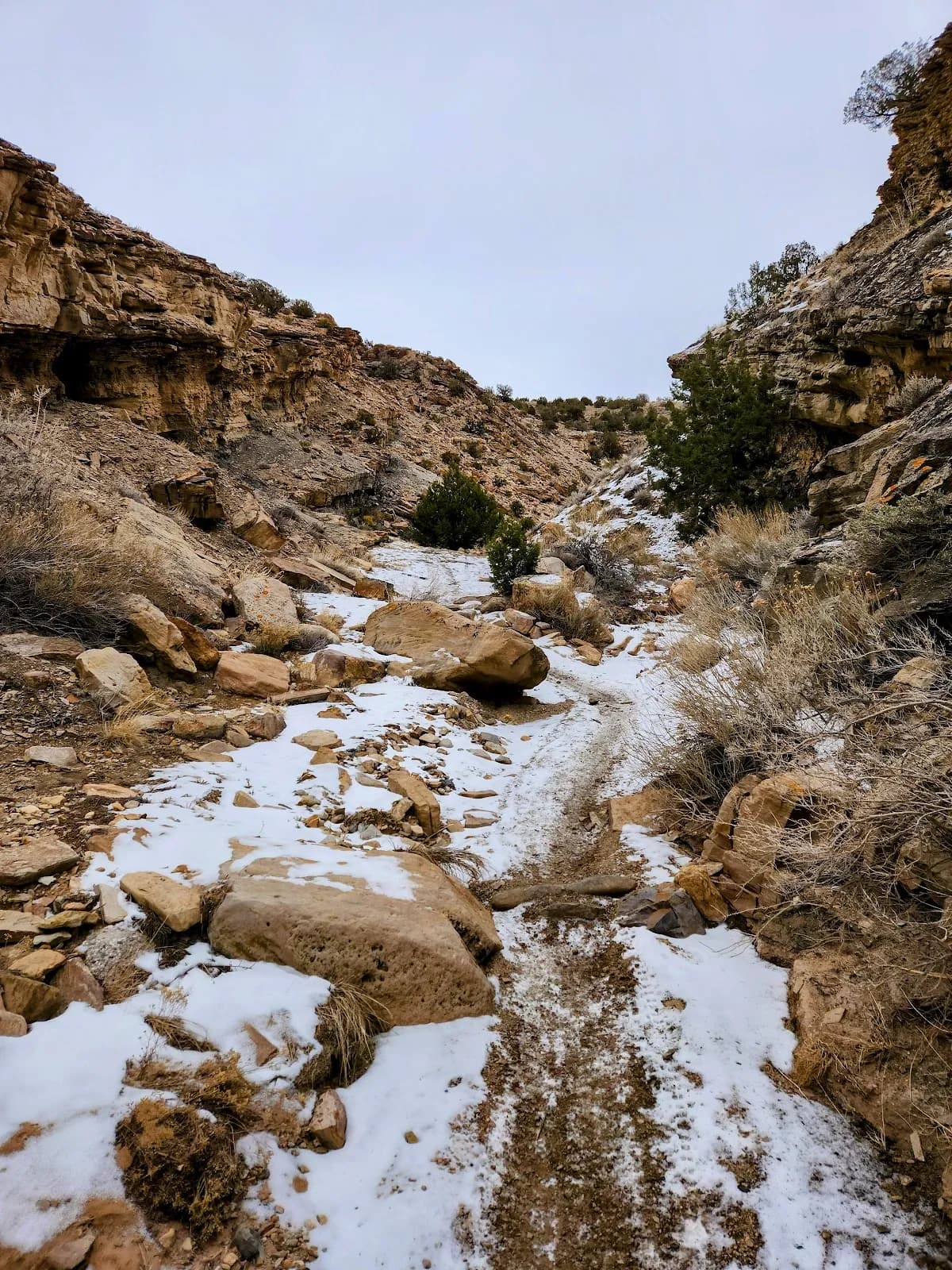
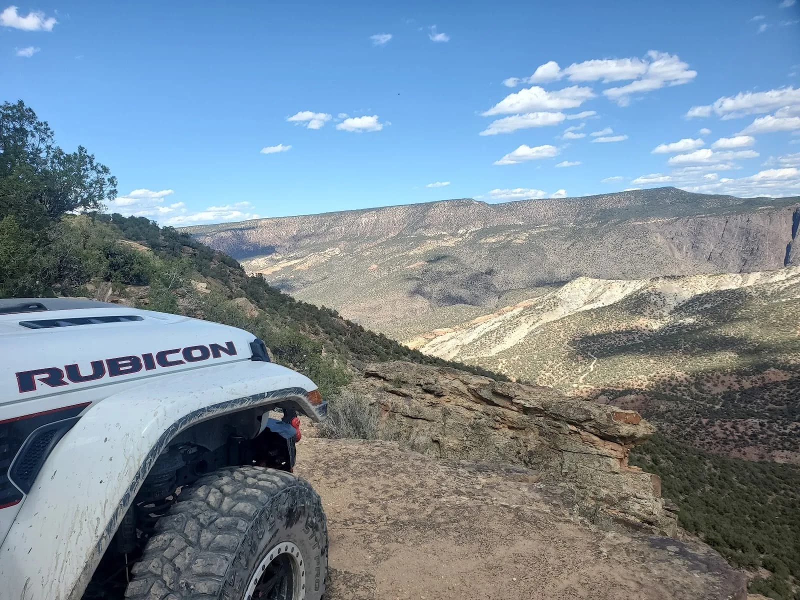
Peach Valley OHV is a moderate hiking trail near Montrose on the Western Slope of Colorado. The site sits at an elevation of 5,624 feet and is suitable for a hike lasting about two hours. The area is open to hikers from September through November, offering fall hiking conditions within the broader Flat Top-Peach Valley OHV Recreation Area. This 9,700-acre landscape is managed by the Bureau of Land Management and features over 75 miles of multiple-use trails. Hikers can access the trailhead via parking available at the staging area. The site is pet-friendly, allowing dogs on leashes or off-route as permitted by regulations. While the main staging area provides vault toilets, picnic tables, and shade gazebos, there is no potable water available on-site, so hikers should bring their own. The terrain consists of hardpacked and crusty trails with some rugged hill climbs, ranging from narrow single tracks to wider paths. The moderate difficulty reflects the mix of flat sections and climbs, making it accessible for most fitness levels. Unlike peak motorized seasons, fall offers quieter conditions, though hikers should remain aware of off-highway vehicle traffic. The trail is part of the Gunnison Gorge National Conservation Area, located near Black Canyon of the Gunnison National Park. Visitors must display a valid Colorado State Parks OHV sticker if operating motorized equipment, though this does not restrict pedestrian access. The staging area includes informational kiosks with trail maps to help navigate the designated open play areas and signed trails.
Trail profile
Gain
—
Avg grade
—
Steepest
—
High point
5,624 ft
Good to know
Parking at the trailhead
Restrooms available
Dogs allowed on leash
Waypoints
No waypoints mapped for this trail yet.
What people say
Reviews
No reviews yet
Been here? Help the next person out.
Within 30 miles