Hiking · Boulder, CO
Coal Creek Trail
Before you go
Live · nearest station Steamboat Springs, 96 miGood window today. Daylight to 6:55 pm.
Thunderstorms
Feels like 65°
Storm chance
12% afternoon
Wind
5 mph W
UV index
0.6 low
Sun window
6:49 am to 6:55 pm
Distance
2.92mi round trip
Elevation gain
204ft
High point
9,459ft
Season
Jan - Dec
About
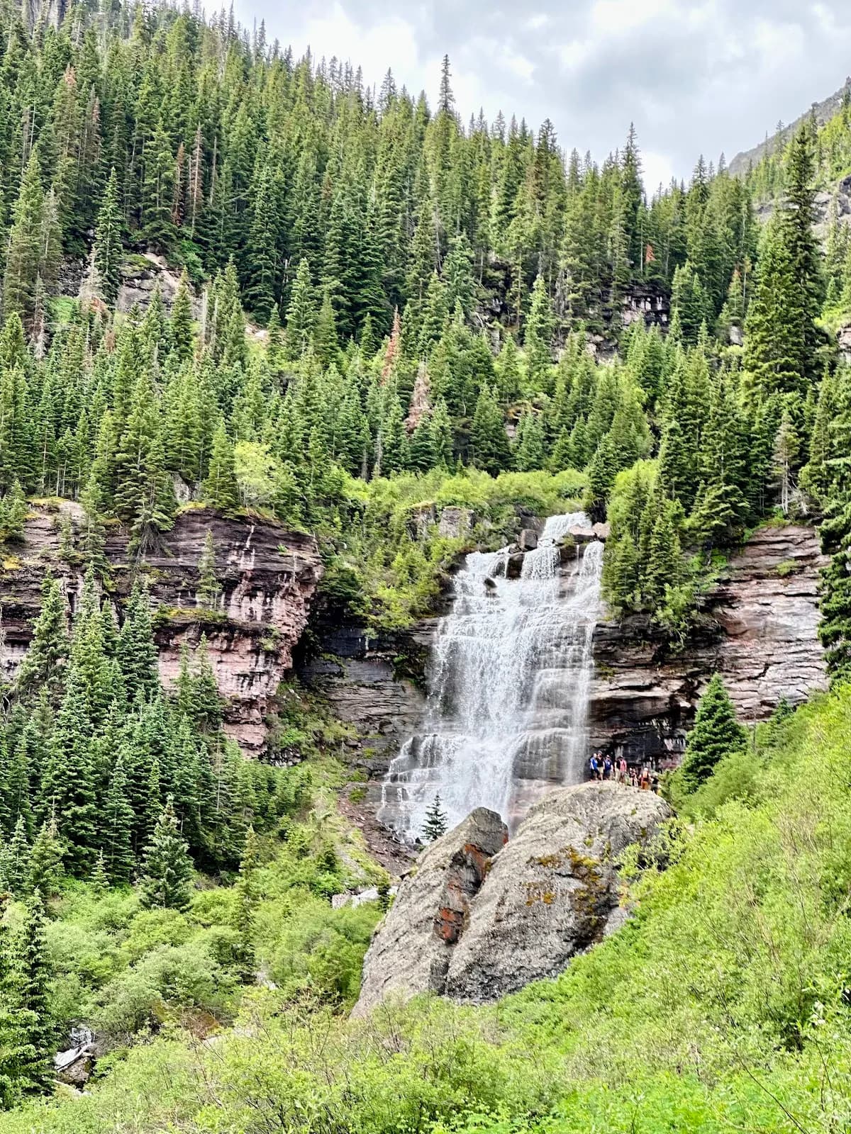
The Coal Creek Trail is a 2.92-mile out-and-back hike in Boulder County, Colorado, located on the Western Slope near Louisville and Superior. The trail follows Coal Creek through a riparian ecosystem with soft surfaces, offering views of the surrounding plains and distant peaks. It is graded as moderate to easy and typically takes about two hours to complete, though times vary based on pace. The route is accessible year-round and features parking at the trailhead, including the Aquarius Trailhead in Louisville. The path is pet-friendly and suitable for walking, running, biking, and horseback riding. Hikers can expect to see water-loving wildlife such as coyotes, raccoons, red foxes, and various birds including the great horned owl and red-tailed hawk. The area supports diverse plant life, including cottonwoods, willows, and wildflowers like showy milkweed and western spiderwort. Much of the trail is exposed to the sun, so water and sun protection are recommended, although shaded areas near the creek provide relief. The trail connects communities from Superior to Erie and has been in operation since 1990.
Trail profile
Gain
204 ft
Avg grade
1%
Steepest
3%
High point
9,459 ft
Good to know
Parking at the trailhead
Dogs allowed on leash
Waypoints
Latest trail reportgood
Trail is in good condition. No significant obstacles or hazards reported.
Reported Mar 2, 2025Verified
What people say
Reviews
No reviews yet
Been here? Help the next person out.
Within 30 miles
Nearby spots
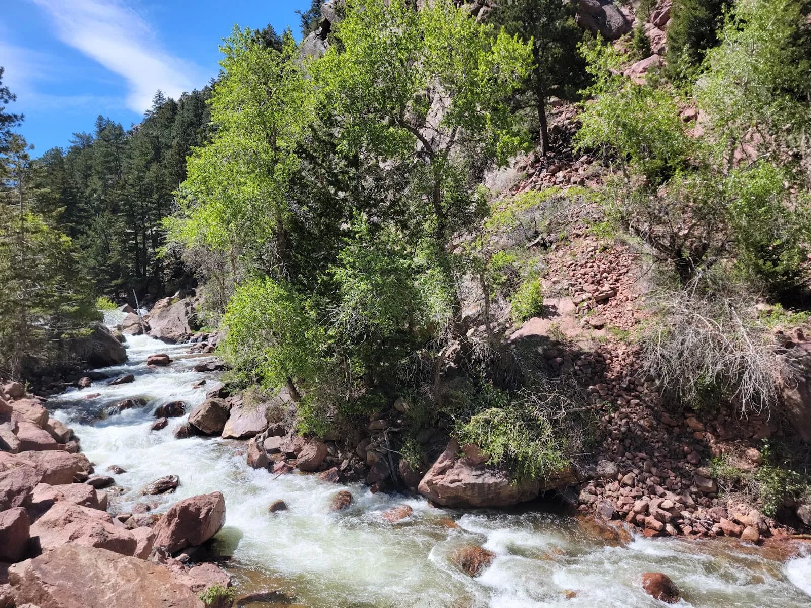
Eldorado Canyon State Park
Colorado Parks and Wildlife Headquarters