Fishing · Gunnison, CO
Cochetopa Creek
Before you go
Live · nearest station Gunnison, 18 miStorms build later today. Plan an early finish.
Thunderstorms
Feels like 55°
Storm chance
57% tonight
Wind
5 mph ENE
Distance
—
Elevation gain
960ft
High point
9,442ft
Season
Apr - Octpeak now
About
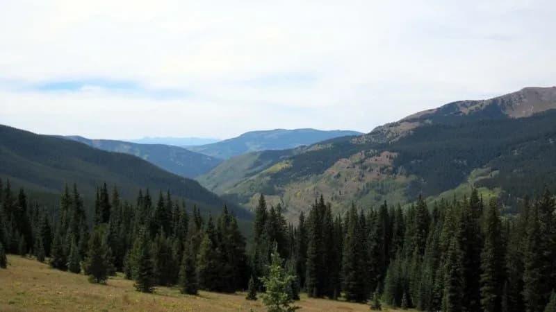
Cochetopa Creek is a small freestone fishery located south of Gunnison, Colorado, running from the San Juan Mountains toward Tomichi Creek. The upper section features open meadow fishing with few trees and deep water, while the lower section offers canyon-style angling. The creek supports wild reproducing rainbow and brown trout, which are opportunistic feeders often caught on dries, nymphs, or streamers. Access is available along State Highway 114, where the Bureau of Land Management maintains a recreation site with developed campsites, picnic areas, and ADA-accessible restrooms. Two Colorado State Wildlife Areas provide public access via private ranch land. Anglers must respect private property boundaries in the meadow sections and note that dogs are permitted in Cochetopa Canyon but restricted in the State Wildlife Areas due to cattle grazing. The area is known for low fishing pressure, allowing for a good chance of landing larger fish. Parking is available along the highway corridor.
Trail profile
Gain
960 ft
Avg grade
—
Steepest
—
High point
9,442 ft
Good to know
Parking at the trailhead
Dogs allowed on leash
Waypoints
Latest water reportfair
Spring conditions. Water temperatures beginning to rise, increasing fish activity. Shore fishing productive as fish move to shallower water. Ice may still be present at higher elevations in early spring.
Reported Mar 3, 2025Verified
What people say
Reviews
No reviews yet
Been here? Help the next person out.
Within 30 miles