Hiking · Fruita, CO
Colorado National Monument Sign
Before you go
Live · nearest station Grand Junction, 10 miGood window today.
Mostly Cloudy
Feels like 58°
Storm chance
2% overnight
Wind
0 mph
Distance
—
Elevation gain
—
High point
4,706ft
Season
Jan - Dec
About
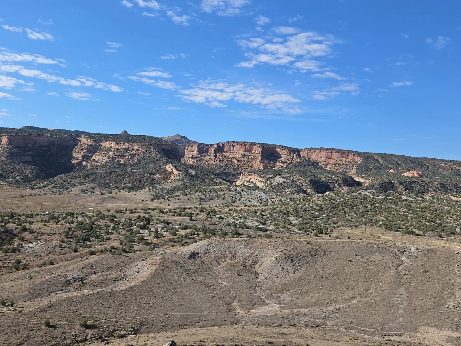
The Colorado National Monument Sign hike is a moderate, 2-hour loop located near Fruita on the Western Slope, just inside the monument’s western entrance. The trail leads hikers to a prominent metal sign marking the monument boundary, offering a clear vantage point of the surrounding canyon country and the Grand Junction area. The terrain is generally accessible, making it suitable for year-round visits, though winter conditions may require traction devices. Parking is available at the trailhead, and pets are allowed on leash. The elevation sits at 4,706 feet, providing a gentle introduction to the monument’s red rock landscape without the exertion of higher-altitude trails.
Trail profile
Gain
—
Avg grade
—
Steepest
—
High point
4,706 ft
Good to know
Parking at the trailhead
Dogs allowed on leash
Waypoints
No waypoints mapped for this trail yet.
What people say
Reviews
No reviews yet
Been here? Help the next person out.
Within 30 miles