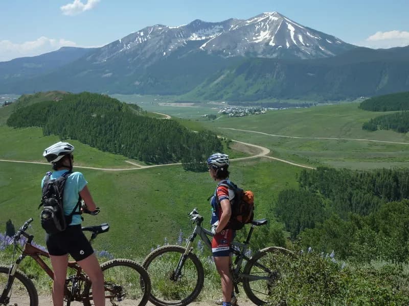
Hiking · Gunnison, CO
Contour Trail
Before you go
Live · nearest station Gunnison, 0 miStorms build later today. Plan an early finish.
Rain Showers Likely
Feels like 48°
Storm chance
56% overnight
Wind
0 mph
Distance
6.5mi round trip
Elevation gain
28ft
High point
7,909ft
Season
Jan - Dec
About
The Contour Trail is a 6.5-mile easy hiking loop near Gunnison, Colorado, situated at an elevation of 7,909 feet. It serves as a gentle traverse just off the valley floor, connecting virtually all trails in the Signal Peak area. The trail surface is dirt and ground, managed by the BLM Gunnison Field Office and the City of Gunnison. Parking is available at the trailhead. The route is one of the first to dry out in the spring, making it suitable for an out-and-back cruise or as a connector to ridge and mesa trails. It allows hiking, biking, and horses. The trail is open year-round, with specific access noted from May 2 to December 31. Hikers can typically complete the route in about 3 hours. The terrain is described as gentle and well-marked, suitable for a wide range of fitness levels. While generally quiet, it connects to other trails in the Signal Peak area.
Trail profile
Gain
28 ft
Avg grade
0%
Steepest
0%
High point
7,909 ft
Good to know
Parking at the trailhead
Waypoints
Latest trail reportgood
Trail is in good condition. No significant obstacles or hazards reported.
Reported Mar 2, 2025Verified
What people say
Reviews
No reviews yet
Been here? Help the next person out.
Within 30 miles