Hiking · Gunnison, CO
Copper Creek and Copper Lake Hike
Before you go
Live · nearest station Gunnison, 0 miGood window today. Daylight to 7:02 pm.
Thunderstorms
Feels like 62°
Storm chance
31% afternoon
Wind
5 mph NW
UV index
0.4 low
Sun window
6:56 am to 7:02 pm
Distance
11.8mi round trip
Elevation gain
729ft
High point
8,432ft
Season
Jan - Dec
About
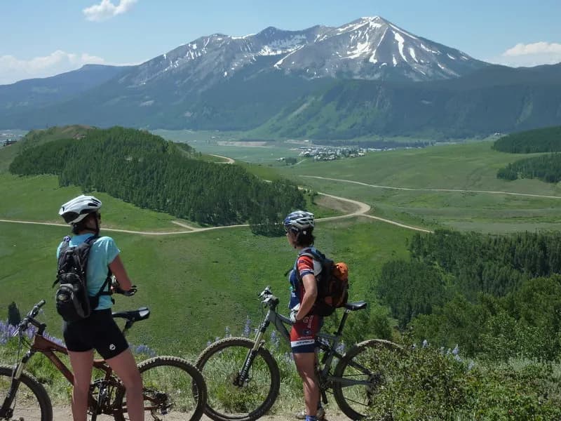
The Copper Creek and Copper Lake Hike is a strenuous route in the Gunnison National Forest near Crested Butte. The trail starts off Gothic Road and climbs past Judd Falls to Copper Lake, located at 11,813 feet. The round-trip distance is approximately 11 to 12 miles, with an estimated duration of eight hours. The trailhead offers parking for two-wheel-drive vehicles, while high-clearance four-wheel-drive vehicles can access a trailhead half a mile further up the road. The route crosses Copper Creek multiple times, with water depth varying by season and weather. Hikers encounter dark timber and open meadows in the first three miles, followed by steeper and rockier terrain. The trail enters the Maroon Bells-Snowmass Wilderness Area after about 3/4 mile. Views from Copper Lake include peaks over 13,000 feet, such as White Rock Mountain and Precarious Peak. The hike is accessible year-round.
Trail profile
Gain
729 ft
Avg grade
1%
Steepest
4%
High point
8,432 ft
Good to know
Parking at the trailhead
Waypoints
Latest trail reportgood
Trail is in good condition. No significant obstacles or hazards reported.
Reported Mar 2, 2025Verified
What people say
Reviews
No reviews yet
Been here? Help the next person out.
Within 30 miles