Hiking · Ouray, CO
Corbett Canyon Oak Creek Loop
Before you go
Live · nearest station Telluride, 11 miStorms build later today. Plan an early finish.
Chance of Rain
Feels like 44°
Trailhead temp
42° est. at 9,924 ft
Storm chance
58% tonight
Wind
5 mph ESE
Distance
9.7mi round trip
Elevation gain
2,833ft
High point
11,568ft
Season
Jan - Dec
About
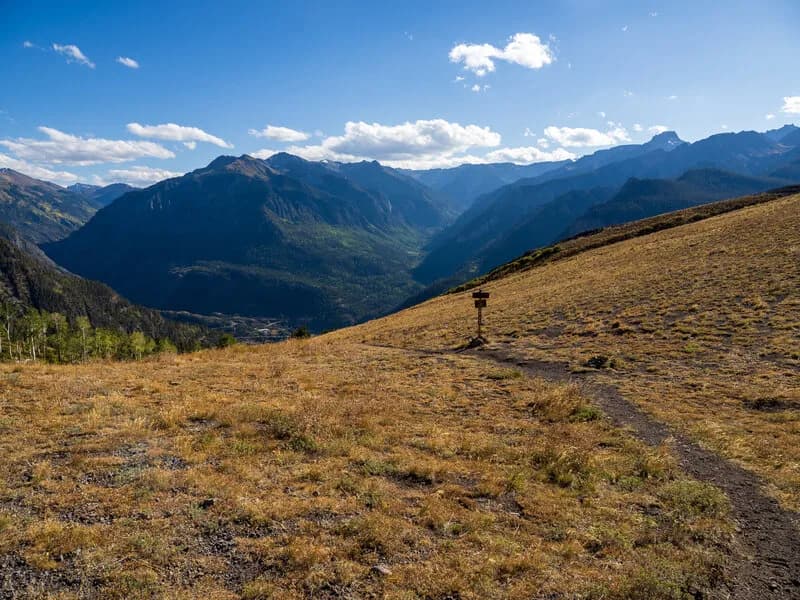
The Corbett Canyon Oak Creek Loop is a 9.7-mile strenuous hike in Ouray, Colorado, combining the Dallas, Corbett Canyon, Oak Creek, and Silvershield trails. The route reaches 9,924 feet with approximately 3,000 feet of elevation gain and typically takes six hours to complete. Parking is available at the Dallas Trailhead off County Road 17, though space can be limited. The trail allows hiking and dogs but restricts bikes and horses on certain segments. Hikers start by climbing steeply from the trailhead, passing through forest and crossing a rocky stream before ascending to a high alpine meadow. Views of Whitehouse and No Name mountains appear near the 0.7-mile mark, but scenery is limited for much of the route. The trail descends through aspen forest and connects with the Oak Creek Trail before reaching the Silvershield Trail. A short gravel road segment returns hikers to the starting point, requiring no shuttle if walking back. The loop is accessible year-round.
Trail profile
Gain
2,833 ft
Avg grade
6%
Steepest
17%
High point
11,568 ft
Good to know
Parking at the trailhead
Waypoints
Latest trail reportgood
Trail is in good condition. No significant obstacles or hazards reported.
Reported Mar 2, 2025Verified
What people say
Reviews
No reviews yet
Been here? Help the next person out.
Within 30 miles