Hiking · Ouray, CO
Gold Belt Trail (Old Horsethief)
Before you go
Live · nearest station Telluride, 11 miStorms build later today. Plan an early finish.
Chance of Rain
Feels like 44°
Trailhead temp
40° est. at 10,387 ft
Storm chance
50% tonight
Wind
5 mph ESE
Distance
5.1mi round trip
Elevation gain
2,335ft
High point
11,365ft
Season
Jan - Dec
About
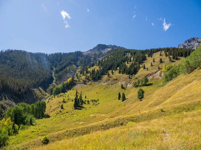
The Gold Belt Trail, also called Old Horsethief, is a 5.1-mile out-and-back hike just outside Ouray on the Western Slope. It gains about 2,800 feet to a small summit at 10,387 feet, offering views down to the town and the Uncompahgre River Valley. The trail begins at a small, easy-to-miss trailhead off Highway 550. Parking is limited but rarely an issue because the trail is unlikely to be crowded. The route involves a steady climb through forested terrain and private property. Hikers should stay on the marked route to respect land boundaries. A notable section called The Blowout traverses a steep, crumbly talus slope. The trail crosses a few roads at obvious, well-signed junctions. It is considered difficult due to the steep incline and uneven terrain. The hike typically takes about three hours. At the summit, you can continue off-trail across the ridge to the official high point of Gold Hill or connect with the Bridge of Heaven Trail.
Trail profile
Gain
2,335 ft
Avg grade
9%
Steepest
24%
High point
11,365 ft
Good to know
Parking at the trailhead
Waypoints
Latest trail reportgood
Trail is in good condition. No significant obstacles or hazards reported.
Reported Mar 2, 2025Verified
What people say
Reviews
No reviews yet
Been here? Help the next person out.
Within 30 miles