Mountain Biking · Montrose, CO
County Rd. 90 Connector
Before you go
Live · nearest station Montrose, 0 miGood window today.
Chance of Rain
Feels like 60°
Storm chance
25% afternoon
Wind
5 mph SW
Distance
7.3mi round trip
Elevation gain
220ft
High point
6,027ft
Season
Apr - Octin season
About
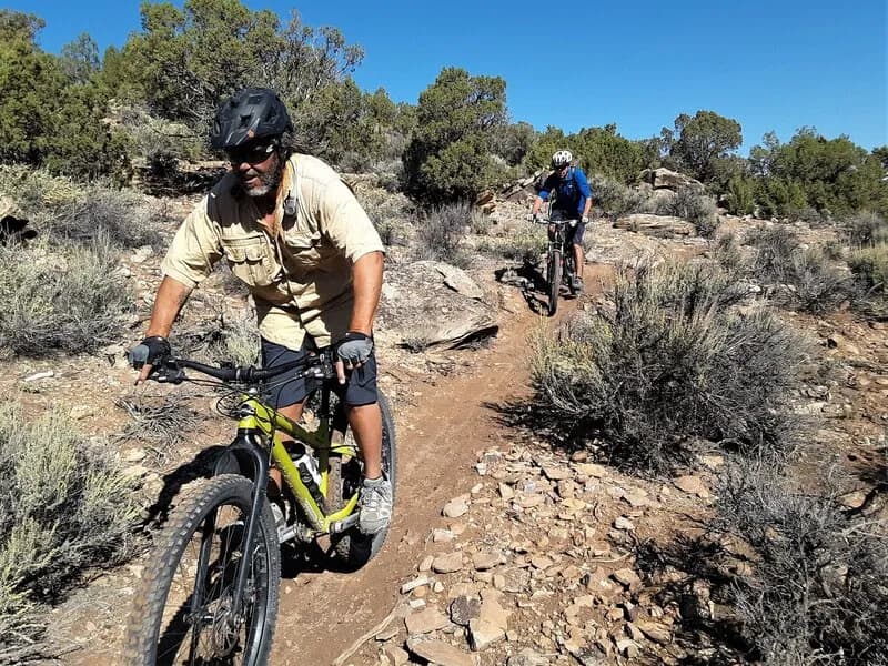
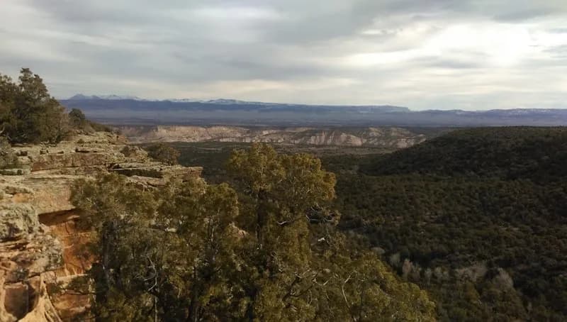
The County Rd. 90 Connector is a moderate 7.3-mile mountain biking trail located near Montrose, Colorado, on the Western Slope. The route sits at an elevation of 5,809 feet and typically takes about two hours to complete. It serves as an accessible return route from the Red Canyon Trail area, making it a practical option for riders seeking a straightforward loop or out-and-back ride. The trail is generally open from April through October, with accessibility subject to local snow conditions and maintenance schedules. Parking is available near the trailhead, and the route allows pets. While specific technical features are not extensively detailed in available records, the trail is part of a broader network of designated mountain biking routes in Montrose County, which includes over 150 such trails.
Trail profile
Gain
220 ft
Avg grade
1%
Steepest
1%
High point
6,027 ft
Good to know
Parking at the trailhead
Dogs allowed on leash
Waypoints
Latest trail reportgood
Trail is in good condition. Traction is good with minimal obstacles.
Reported Mar 2, 2025Verified
What people say
Reviews
No reviews yet
Been here? Help the next person out.
Within 30 miles