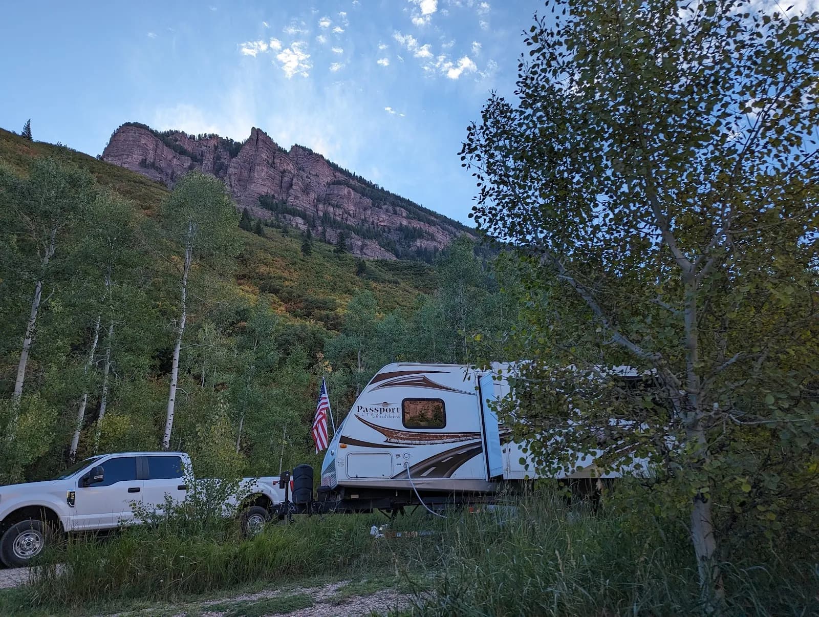
Fishing · Glenwood Springs, CO
Crystal River
Before you go
Live · nearest station Aspen, 22 miGood window today.
Thunderstorms
Feels like 53°
Storm chance
45% tonight
Wind
5 mph SSW
Distance
—
Elevation gain
656ft
High point
7,864ft
Season
Apr - Octpeak now
About
The Crystal River is a freestone fishery located on the Western Slope of Colorado, running approximately 35 miles from above Marble to its confluence with the Roaring Fork River near Carbondale. The river flows at an elevation of 7,654 feet and offers moderate fishing difficulty with access available from April through October. Anglers primarily target rainbow trout, brown trout, and whitefish, with the best fishing conditions often found in the tailwaters near Carbondale where water remains clear despite seasonal runoff. The river runs through the White River National Forest, providing numerous pools and riffles around marble and granite boulders. Parking is available at several access points along Highway 82 and Highway 133, and the site is pet friendly. While spring runoff can make waters fast and muddy, early mornings are favorable for streamer fishing. The area supports both fly fishing and general angling, with local shops providing real-time flow data and fishing reports to assist in trip planning.
Trail profile
Gain
656 ft
Avg grade
—
Steepest
—
High point
7,864 ft
Good to know
Parking at the trailhead
Dogs allowed on leash
Waypoints
Latest water reportfair
Early spring conditions. Water levels may be rising with snowmelt, potentially leading to muddy water in some areas. Check recent flows before fishing.
Reported Mar 3, 2025Verified
What people say
Reviews
No reviews yet
Been here? Help the next person out.
Within 30 miles