Mountain Biking · Gunnison, CO
CT - Segment 18: Hwy 114 to County Road 17FF
Before you go
Live · nearest station Gunnison, 0 miStorms build later today. Plan an early finish.
Chance of Rain
Feels like 54°
Storm chance
57% tonight
Wind
5 mph ESE
Distance
—
Elevation gain
—
High point
7,705ft
Season
Apr - Octpeak now
About
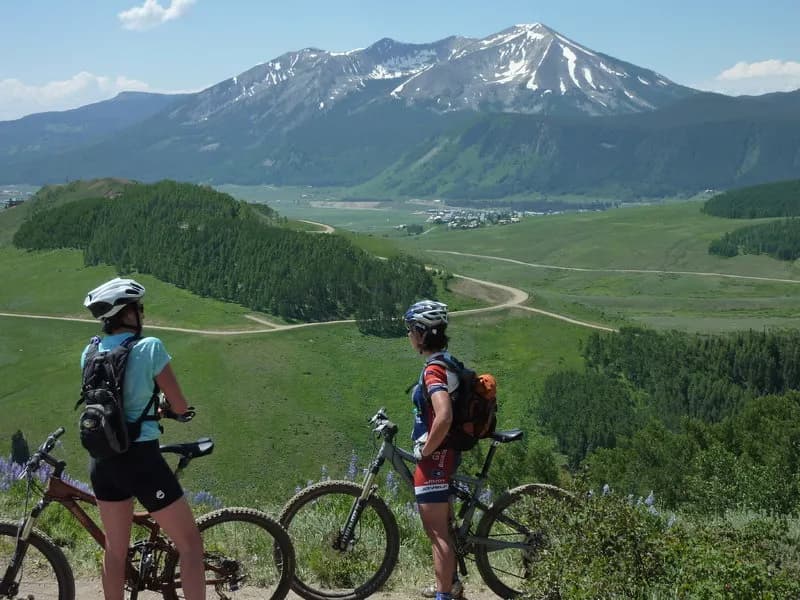
CT - Segment 18 is a moderate to easy mountain biking route in Gunnison, Colorado, connecting Highway 114 to County Road 17FF. The trail spans approximately 12 miles with an elevation range between 9,339 and 10,261 feet. It is part of the Colorado Trail system and managed by the USFS Gunnison Ranger District. The route features a mix of singletrack and paved or gravel road sections, including an old service road covered in small pine trees. Riders encounter short climbs and descents, with a notable steep section near the top of the service road climb. The segment is open from April through October and allows dogs. Parking is available at the trailheads. A key practical detail for riders is the La Garita Wilderness detour; bikes are not allowed in the wilderness area, so riders must take the specified route to Spring Creek Camp Ground. The trail is generally considered family-friendly and suitable for all skill levels, with conditions described as dry and dusty during peak season.
Trail profile
Gain
—
Avg grade
—
Steepest
—
High point
7,705 ft
Good to know
Parking at the trailhead
Dogs allowed on leash
Waypoints
Latest trail reportgood
Trail is in good condition. Traction is good with minimal obstacles.
Reported Mar 2, 2025Verified
What people say
Reviews
No reviews yet
Been here? Help the next person out.
Within 30 miles