Camping · Gunnison, CO
Curecanti National Recreation Area
Before you go
Live · nearest station Gunnison, 14 miGood window today. Daylight to 7:03 pm.
Thunderstorms
Feels like 61°
Storm chance
31% afternoon
Wind
5 mph NW
UV index
0.4 low
Sun window
6:57 am to 7:03 pm
Distance
—
Elevation gain
—
High point
7,573ft
Season
May - Sepin season
About
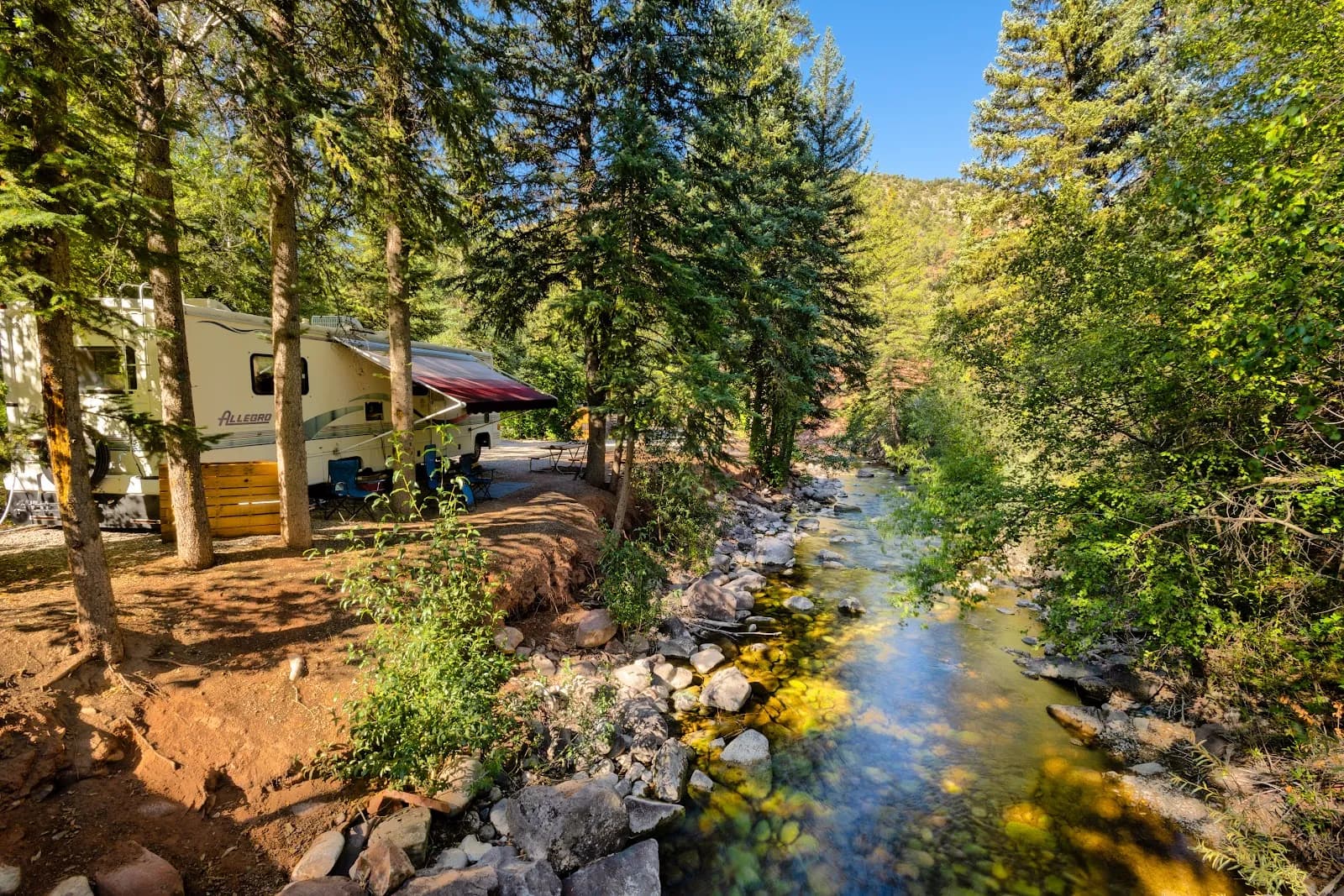
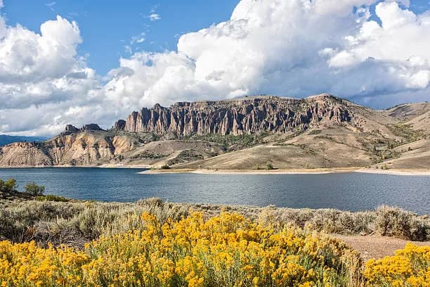
Curecanti National Recreation Area, located 27 miles west of Gunnison on Colorado Highway 92 near U.S. Highway 50, offers camping along the shore of Blue Mesa Reservoir. The area encompasses three reservoirs and surrounding lands, featuring a landscape that transitions from sagebrush shrublands to forests. The elevation is 7,573 feet, and the moderate difficulty level reflects varied terrain including hills and rocky shores. Access is available year-round with specific campgrounds operating primarily from May through September. Established sites such as Elk Creek, Lake Fork, and Ponderosa provide facilities for both tent and RV camping. Stevens Creek Campground, situated on the north shore at the eastern end of Blue Mesa Reservoir, is the closest to Gunnison and offers easy access for boaters. The environment is described as sunny with visible sagebrush scent. Amenities include parking, restrooms, and the option to make reservations via recreation.gov, though cell service can be limited. Pets are allowed in the area.
Trail profile
Gain
—
Avg grade
—
Steepest
—
High point
7,573 ft
Good to know
Parking at the trailhead
Restrooms available
Dogs allowed on leash
Waypoints
No waypoints mapped for this trail yet.
What people say
Reviews
No reviews yet
Been here? Help the next person out.
Within 30 miles