Hiking · Fruita, CO
D1 - Devils Canyon
Before you go
Live · nearest station Grand Junction, 12 miGood window today.
Thunderstorms
Feels like 76°
Storm chance
25% afternoon
Wind
0 mph
Distance
3.4mi round trip
Elevation gain
574ft
High point
5,167ft
Season
Jan - Dec
About
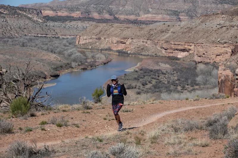
The D1 - Devils Canyon trail is a connector route in the McInnis Canyons National Conservation Area, located near Fruita and Grand Junction on Colorado’s Western Slope. Starting from the Devil's Canyon trailhead, the trail follows a wide gravel road before transitioning to a dirt path that climbs an old road bed. The route offers views of the Colorado Plateau high desert and leads toward the Flume Canyon and Pollock Bench trail networks. The trail is marked with square white posts and brown mylar signs, aiding navigation through intersections with trails such as D5, K8, D3, D4, and D6. While the trail itself is described as moderately trafficked, the broader Devil's Canyon area is popular for hiking, birding, and horseback riding. Parking is available at the trailhead, accessible via a gravel road off Highway 340.
Trail profile
Gain
574 ft
Avg grade
3%
Steepest
4%
High point
5,167 ft
Good to know
Parking at the trailhead
Waypoints
Latest trail reportgood
Trail is in good condition. No significant obstacles or hazards reported.
Reported Mar 2, 2025Verified
What people say
Reviews
No reviews yet
Been here? Help the next person out.
Within 30 miles