Hiking · Fruita, CO
D4 - Devils Canyon
Before you go
Live · nearest station Grand Junction, 12 miGood window today.
Sunny
Feels like 63°
Storm chance
6% afternoon
Wind
5 mph NW
Distance
2.4mi round trip
Elevation gain
186ft
High point
4,828ft
Season
Jan - Dec
About
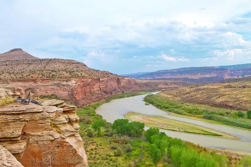
D4 - Devils Canyon is a 2.4-mile moderate hiking trail in Fruita, Colorado, situated within the McInnis Canyons National Conservation Area. Starting from a gravel road near the main parking lot, hikers navigate through small canyons and along cliff bands at an elevation of 4,828 feet. The route features a steady incline followed by a decline, with limited shade and exposed desert terrain. Hikers should carry plenty of water due to hot summer conditions and potential winter snow or ice. The trail offers multiple shortcut options at 0.3 miles and 0.8 miles, allowing for varied loop configurations with connecting trails D1 and D3. The hike typically takes about one hour to complete.
Trail profile
Gain
186 ft
Avg grade
1%
Steepest
1%
High point
4,828 ft
Good to know
Parking at the trailhead
Waypoints
Latest trail reportgood
Trail is in good condition. No significant obstacles or hazards reported.
Reported Mar 2, 2025Verified
What people say
Reviews
No reviews yet
Been here? Help the next person out.
Within 30 miles