Hiking · Fruita, CO
Jouflas Loop
Before you go
Live · nearest station Grand Junction, 12 miGood window today. Daylight to 7:08 pm.
Thunderstorms
Feels like 75°
Storm chance
31% tonight
Wind
5 mph SW
UV index
0.1 low
Sun window
7:04 am to 7:08 pm
Distance
7.8mi round trip
Elevation gain
604ft
High point
5,035ft
Season
Jan - Dec
About
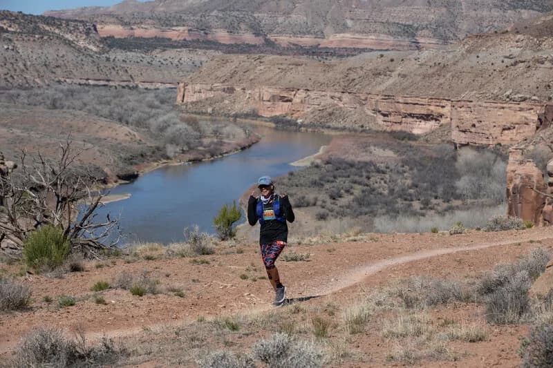
The Jouflas Loop is a moderate, approximately 7.8-mile hiking trail located near Fruita, Colorado, within the McInnis Canyons National Conservation Area. The route begins near a cattle guard and requires a 1.5-mile road hike to reach the McDonald Canyon trailhead, which includes an outhouse. From there, hikers follow the McDonald Creek Trail to a cairn marking the start of the Jouflas Trail. The singletrack descends south to the rim of the Colorado River, offering views of the river below. At roughly 5.5 miles, the trail turns away from the river, running below sandstone cliffs and slickrock sections marked by cairns. The route continues through juniper forest, follows a cattle fence, and returns to the parking area. Elevation sits around 5,035 feet. Wildlife observations include bald eagles along the river in winter and western bluebirds. The trail is accessible year-round.
Trail profile
Gain
604 ft
Avg grade
1%
Steepest
2%
High point
5,035 ft
Good to know
Parking at the trailhead
Waypoints
Latest trail reportgood
Trail is in good condition. No significant obstacles or hazards reported.
Reported Mar 2, 2025Verified
What people say
Reviews
No reviews yet
Been here? Help the next person out.
Within 30 miles