Mountain Biking · Rifle, CO
Dab Gonnit!
Before you go
Live · nearest station Glenwood Springs, 24 miGood window today.
Thunderstorms
Feels like 65°
Storm chance
21% afternoon
Wind
5 mph W
Distance
—
Elevation gain
—
High point
5,348ft
Season
Apr - Octin season
About
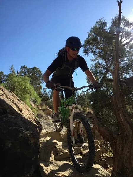
Dab Gonnit! is a moderate mountain biking trail located near Rifle, Colorado, on the Western Slope. The trail connects to the local network, linking with routes such as BKS and G-Whiz. It begins from the 'Y' on Highway 244 and can also be accessed from Lower Sidewinder or via Manzier. The route skirts a small hill and includes off-camber sections before twisting through juniper trees. Riders cross a dry creek bed three to four times. The trail ends in the dry creek bed, where riders choose to return to the road or continue onto G-Whiz. The elevation is listed as 5,347 feet in the database, though one source cites 1,747 feet. The riding season runs from April through October. Parking is available on site, and pets are permitted.
Trail profile
Gain
—
Avg grade
—
Steepest
—
High point
5,348 ft
Good to know
Parking at the trailhead
Dogs allowed on leash
Waypoints
Latest trail reportgood
Trail is in good condition. Traction is good with minimal obstacles.
Reported Mar 2, 2025Verified
What people say
Reviews
No reviews yet
Been here? Help the next person out.
Within 30 miles