Camping · Gypsum, CO
Deep Creek Camping
Before you go
Live · nearest station Glenwood Springs, 15 miGood window today. Daylight to 7:03 pm.
Cloudy
Feels like 68°
Storm chance
11% afternoon
Wind
5 mph W
UV index
0.4 low
Sun window
6:57 am to 7:03 pm
Distance
—
Elevation gain
—
High point
6,434ft
Season
May - Sepin season
About
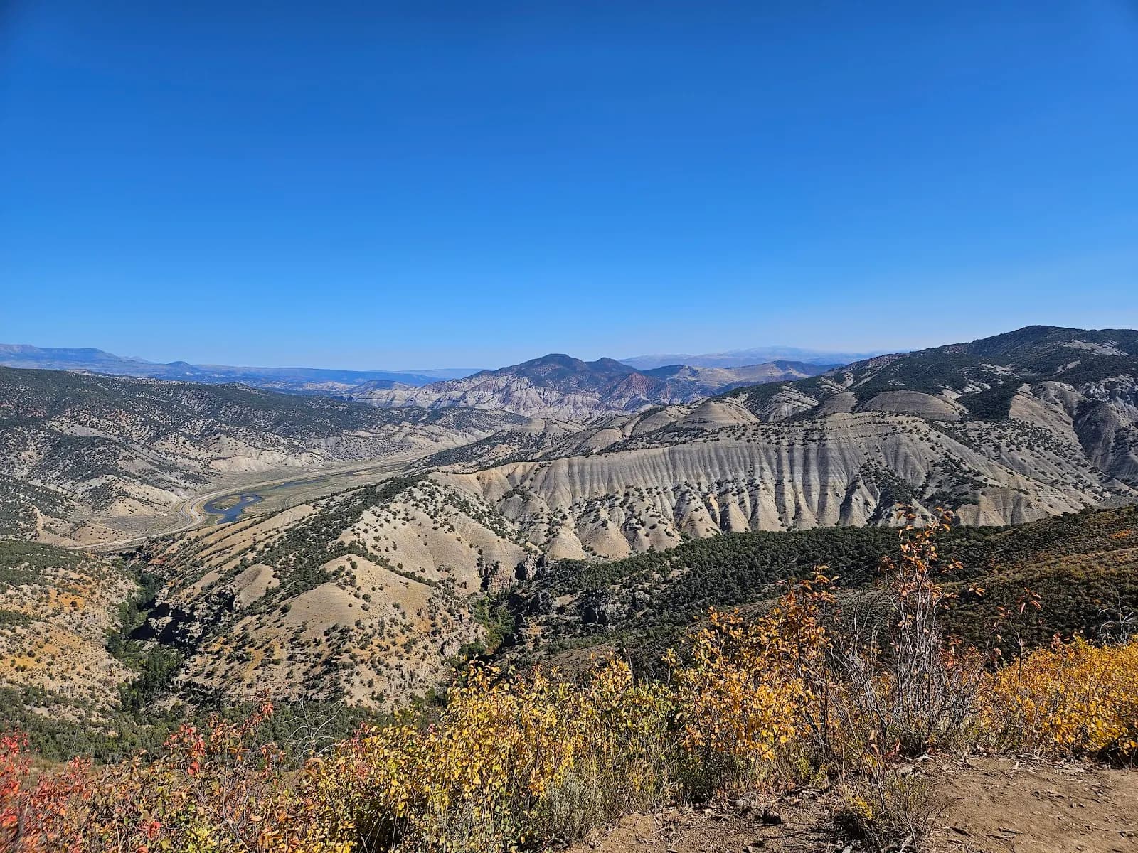
Deep Creek Camping is a free, first-come, first-served Bureau of Land Management (BLM) campground located in Gypsum, Colorado, near Exit 133 off I-70. The site sits along a flowing creek in the Colorado River Valley, offering dispersed camping sites that range from spots directly beside the water to pullouts along a narrow dirt road. Access requires traveling approximately 1.6 miles north on Colorado River Road from the interstate, then turning left onto Coffee Pot Road (#600 National Forest Access) and proceeding about one mile. The road winds through private land before reaching the campground. Amenities are basic. Established fire rings and large tables are available at many sites. Sanitation consists of portable toilets or outhouses, though cleanliness varies. Cell service is generally nonexistent for major carriers, though Starlink may work depending on tree coverage. The campground is pet-friendly and allows both tent and small to medium RV camping, though larger RVs may struggle with the narrow, exposed road conditions and tight pullouts. Traffic noise is minimal despite proximity to the highway. The typical season runs from May through September, though the campground offers year-round access. Spring visitors should expect warm layers for nighttime temperatures and high, muddy creek flows following rain or snowmelt. The area supports hiking and biking, with trails leading from the creek up the road. A 14-day stay limit applies. The elevation is 6,434 feet, and the moderate difficulty rating reflects the accessible but narrow dirt road leading to the sites.
Trail profile
Gain
—
Avg grade
—
Steepest
—
High point
6,434 ft
Good to know
Parking at the trailhead
Restrooms available
Dogs allowed on leash
Waypoints
No waypoints mapped for this trail yet.
What people say
Reviews
No reviews yet
Been here? Help the next person out.
Within 30 miles
Nearby spots
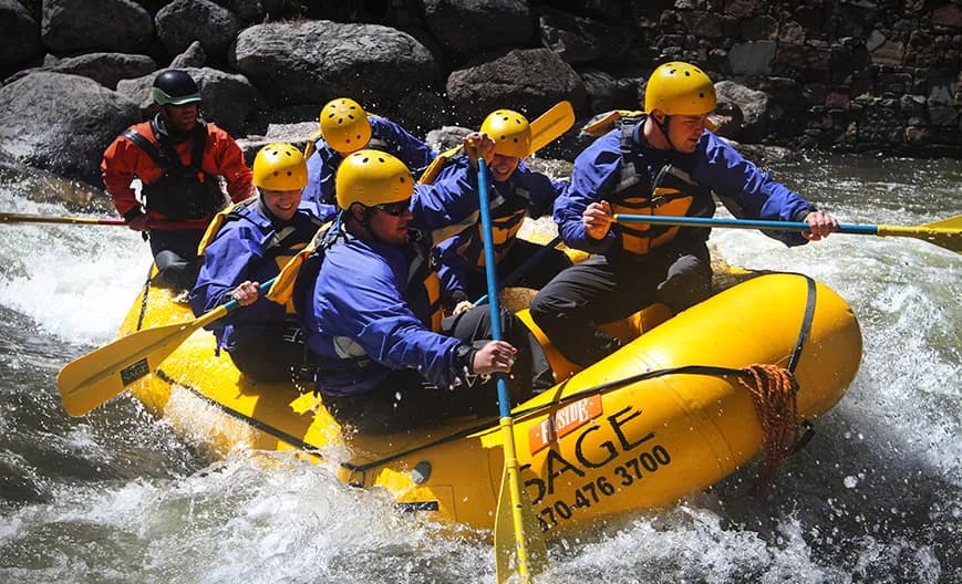
Sage Outdoor Adventures - Rafting, Tubing, SUP, & Ducky Rentals
Bike Trailhead