Hiking · Aspen, CO
Difficult Creek Trail
Before you go
Live · nearest station Aspen, 3 miGood window today.
Chance of Rain
Feels like 54°
Storm chance
45% tonight
Wind
5 mph SSE
Distance
3.2mi round trip
Elevation gain
906ft
High point
9,039ft
Season
Jan - Dec
About
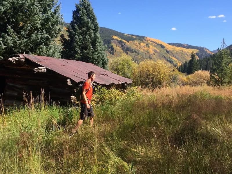
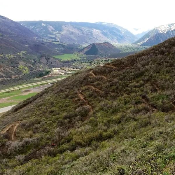
The Difficult Creek Trail is a 3.2-mile moderate hike in Aspen, Colorado, located within the White River National Forest and Collegiate Peaks Wilderness. The trailhead sits off Highway 82 near Difficult Campground at an elevation of approximately 9,493 feet. Hikers follow a dirt and gravel path along Difficult Creek through pine and aspen forests. The route features a steady climb, passing an old cabin before reaching a turnaround point roughly 3 miles from the start. Parking is available at the trailhead, and the trail remains accessible year-round for hiking, running, snowshoeing, and cross-country skiing. While winter conditions may require additional gear, the trail is not groomed for Nordic skiing. The area supports dogs and offers views of the creek and surrounding forest environments.
Trail profile
Gain
906 ft
Avg grade
5%
Steepest
11%
High point
9,039 ft
Good to know
Parking at the trailhead
Waypoints
Latest trail reportgood
Trail is in good condition. No significant obstacles or hazards reported.
Reported Mar 2, 2025Verified
What people say
Reviews
No reviews yet
Been here? Help the next person out.
Within 30 miles