Fall Hiking · Delta, CO
Dominguez-Escalante National Conservation Area
Before you go
Live · nearest station Grand Junction, 26 miGood window today.
Thunderstorms
Feels like 76°
Trailhead temp
68° est. at 6,802 ft
Storm chance
18% afternoon
Wind
5 mph WSW
Distance
—
Elevation gain
—
High point
6,802ft
Season
Sep - Novin season
About
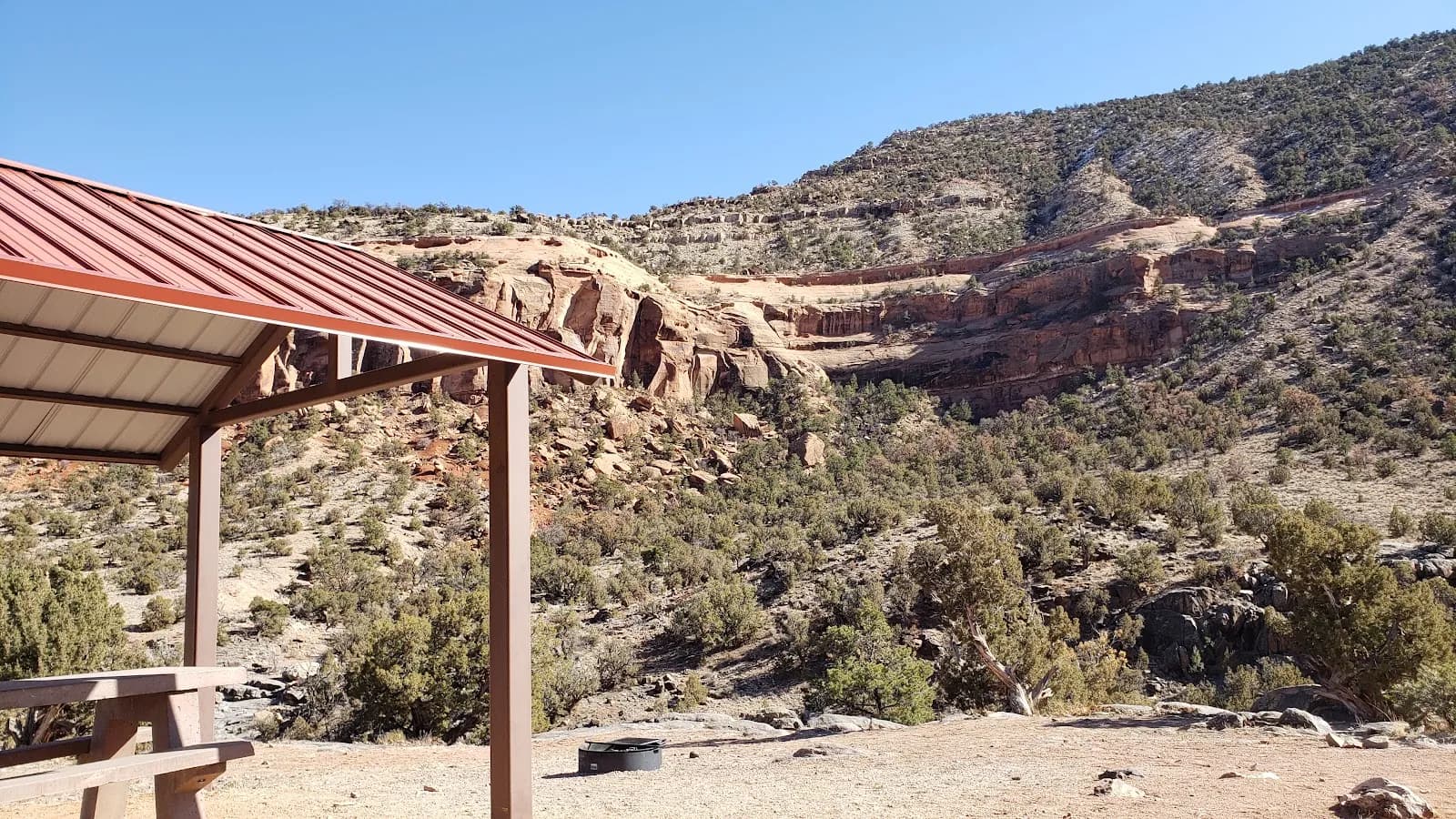
The Dominguez-Escalante National Conservation Area provides a moderate fall hiking experience on the Western Slope of Colorado. Located southeast of Grand Junction and northwest of Montrose, this 210,172-acre area sits on the Uncompahgre Plateau with elevations ranging from 4,800 to 8,200 feet. The primary access point is in Delta, where parking and restrooms are available. Hikers typically spend about two hours on trails that wind through red-rock canyons and sandstone bluffs. The landscape is a dry-arid high desert featuring pinyon and juniper trees, with cottonwood trees lining the creeks. Four main waterways, including the Escalante and Cottonwood Creeks, flow through the area. The Old Spanish National Historic Trail passes through the eastern part of the NCA, offering cultural and historical context alongside the natural scenery. Wildlife sightings may include mule deer, elk, desert bighorn sheep, and golden eagles. The area is pet friendly. Fall hiking occurs from September through November, when the trails are generally dry and dusty.
Trail profile
Gain
—
Avg grade
—
Steepest
—
High point
6,802 ft
Good to know
Parking at the trailhead
Restrooms available
Dogs allowed on leash
Waypoints
No waypoints mapped for this trail yet.
What people say
Reviews
No reviews yet
Been here? Help the next person out.
Within 30 miles