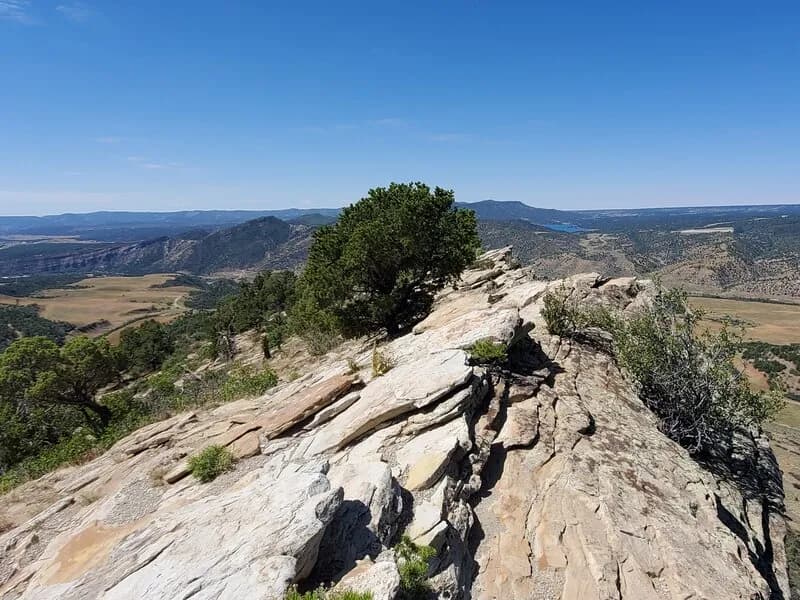
Hiking · Durango, CO
Durango Trails
Before you go
Live · nearest station Durango, 0 miStorms build later today. Plan an early finish.
Thunderstorms
Feels like 59°
Storm chance
57% tonight
Wind
5 mph NE
Animas River at Durango is running 825 cfs and rising, water 55°.
Distance
—
Elevation gain
—
High point
6,551ft
Season
Jan - Dec
About
Durango Trails is a network of over 300 miles of non-motorized paths located within 30 minutes of downtown Durango, Colorado. The system supports hiking, mountain biking, trail running, and dog walking. Trails are maintained by the Durango Trails organization and various land managers including the USFS and BLM. Specific trails within the system include the Animas Mountain Trail, a 6-mile moderate loop with 1,519 feet of elevation gain offering views of the Animas River and San Juan Mountains, and the Falls Creek Loop, a 4.1-mile easy route featuring a waterfall and wildflowers. The Purgatory Trail provides access to the Hermosa Creek Wilderness Area with aspen-lined paths and canyon views. Parking is available at trailheads, and pets are permitted. The trails are accessible year-round for activities like cross-country skiing and snowshoeing.
Trail profile
Gain
—
Avg grade
—
Steepest
—
High point
6,551 ft
Good to know
Parking at the trailhead
Dogs allowed on leash
Waypoints
No waypoints mapped for this trail yet.
What people say
Reviews
No reviews yet
Been here? Help the next person out.
Within 30 miles