Fall Hiking · Grand Junction, CO
Eagle Rim Park
Before you go
Live · nearest station Grand Junction, 1 miGood window today.
Thunderstorms
Feels like 76°
Storm chance
18% afternoon
Wind
5 mph WSW
Distance
—
Elevation gain
—
High point
4,642ft
Season
Sep - Novin season
About
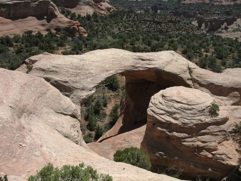
Eagle Rim Park is a moderate hiking destination in Grand Junction, Colorado, located on the Colorado Plateau. The park sits at an elevation of 4,642 feet and is maintained by the City of Grand Junction. The primary feature is a loop trail that takes approximately two hours to complete, with about 3 feet of elevation gain. This makes it accessible for walkers, joggers, and families. The park is open from September through November, offering fall hiking opportunities. The trail conditions are generally well-maintained, and the route provides views of seasonal changes in local flora. The area is characterized by high-desert terrain, with nearby red rock canyons and the confluence of the Colorado and Gunnison rivers. Practical amenities are available at the trailhead. There is parking, restrooms, and water access. Pets are welcome on the trails. The park also features horseshoe pits, a playground, a skate park, reservable shelters, and picnic tables. There is no fee for entry. The specific address is 2736 Cheyenne Drive, Grand Junction, CO 81503. The coordinates are approximately 39.05°N, 108.55°W. The trailhead is clearly marked and accessible.
Trail profile
Gain
—
Avg grade
—
Steepest
—
High point
4,642 ft
Good to know
Parking at the trailhead
Restrooms available
Dogs allowed on leash
Waypoints
No waypoints mapped for this trail yet.
What people say
Reviews
No reviews yet
Been here? Help the next person out.
Within 30 miles