Hiking · Grand Junction, CO
Eagle's Nest Loop
Before you go
Live · nearest station Grand Junction, 3 miGood window today.
Thunderstorms
Feels like 76°
Storm chance
18% afternoon
Wind
5 mph WSW
Gunnison River near Grand Junction is running 1,160 cfs, water 65°.
Distance
6.15mi round trip
Elevation gain
134ft
High point
4,734ft
Season
Jan - Dec
About
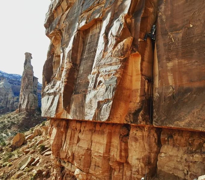
Eagle's Nest Loop is a 6.15-mile difficult hiking trail located in Grand Junction, Colorado, near Orchard Mesa. The route offers 1,750 feet of elevation gain and typically takes four hours to complete. The trailhead provides parking and begins on the Tabeguache Trail alongside a bike park. Hikers follow signs toward the Eagle's Tail and Pet-e-kes junction, staying right to climb up the ridge. The path includes technical, rocky, and steep singletrack with sections of packed sand doubletrack. A notable feature is the presence of bentonite mud, which can make hiking difficult after heavy rain; allowing trails to dry out is advisable. The loop reaches the highest point in the Tabeguache trail network, offering views of the Colorado National Monument, Book Cliffs, and Grand Mesa. Flora includes bunnies and occasional rattlesnakes. The trail is accessible year-round.
Trail profile
Gain
134 ft
Avg grade
0%
Steepest
1%
High point
4,734 ft
Good to know
Parking at the trailhead
Waypoints
Latest trail reportgood
Trail is in good condition. No significant obstacles or hazards reported.
Reported Mar 2, 2025Verified
What people say
Reviews
No reviews yet
Been here? Help the next person out.
Within 30 miles