Hiking · Grand Junction, CO
Gunnison River Bluffs Trail
Before you go
Live · nearest station Grand Junction, 3 miGood window today. Daylight to 7:09 pm.
Chance of Rain
Feels like 76°
Storm chance
18% afternoon
Wind
5 mph WSW
UV index
0.6 low
Sun window
7:02 am to 7:09 pm
Gunnison River near Grand Junction is running 1,150 cfs, water 65°.
Distance
7.77mi round trip
Elevation gain
177ft
High point
4,823ft
Season
Jan - Dec
About
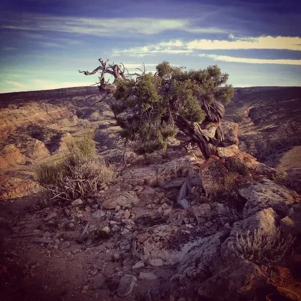
The Gunnison River Bluffs Trail is a 7.25-mile loop located on the southern side of Grand Junction, Colorado, near Whitewater. The trail traverses the Colorado Plateau along the bluffs above the Gunnison River, offering views of the river and surrounding desert scenery. Managed by the BLM Grand Junction Field Office, the route allows for hiking, mountain biking, horseback riding, and dog walking. Dogs must be on a leash. The trail surface is dirt, and the elevation ranges from 4,624 to 4,926 feet with a total elevation gain of 303 feet. The trail is open year-round and is generally considered easy to moderate in difficulty. Parking is available at the trailhead. The trail is split between Mesa County (3.75 miles), the City of Grand Junction (3.1 miles), and half a mile managed locally.
Trail profile
Gain
177 ft
Avg grade
0%
Steepest
1%
High point
4,823 ft
Good to know
Parking at the trailhead
Waypoints
Latest trail reportgood
Trail is in good condition. No significant obstacles or hazards reported.
Reported Mar 2, 2025Verified
What people say
Reviews
No reviews yet
Been here? Help the next person out.
Within 30 miles