Fishing · Lake City, CO
Engineer Pass on the Alpine Loop
Before you go
Live · nearest station Telluride, 13 miStorms are likely above treeline tonight. Start early and be off the ridge by midday.
Chance of Rain
Feels like 45°
Trailhead temp
33° est. at 12,819 ft
Storm chance
50% tonight
Wind
5 mph ESE
San Miguel River near Placerville is running 146 cfs and falling.
Distance
—
Elevation gain
—
High point
12,819ft
Season
Apr - Octpeak now
About
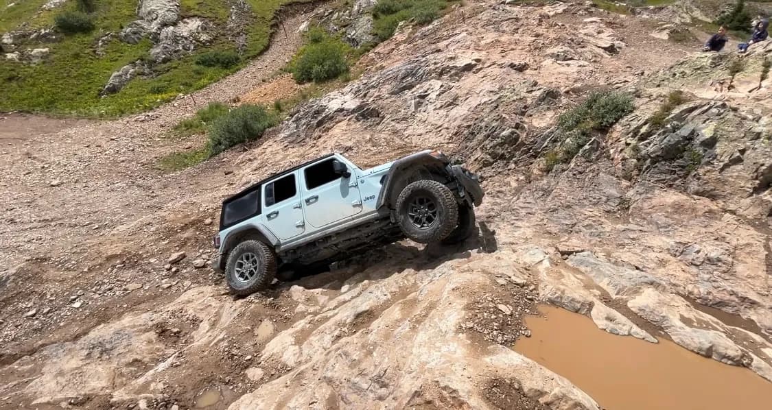
Engineer Pass is a high-elevation fishing access point on the Alpine Loop in the San Juan Mountains, located near Lake City, Colorado. The site sits at 12,819 feet, placing it above tree line. The primary access route is a rugged, unpaved 4x4 road (County Road 18) that requires high clearance and four-wheel drive. While the road is generally open from April through October, snow can persist into June or linger into November, and conditions change quickly. The area is part of the Uncompahgre National Forest. Evidence confirms trout fishing in the adjacent streams and lakes along the route. Parking is available at pull-outs and trailheads. The route is pet-friendly. The drive itself is considered moderate difficulty for off-road vehicles, though the road surface is rough and narrow in sections. Historical mining infrastructure, including ghost towns and old cabins, is visible along the loop, but the specific fishing utility relies on the water bodies accessible via the pass road.
Trail profile
Gain
—
Avg grade
—
Steepest
—
High point
12,819 ft
Good to know
Parking at the trailhead
Dogs allowed on leash
Waypoints
No waypoints mapped for this trail yet.
What people say
Reviews
No reviews yet
Been here? Help the next person out.
Within 30 miles