Hiking · Ouray, CO
Oh! Point
Before you go
Live · nearest station Telluride, 12 miStorms are likely above treeline tonight. Start early and be off the ridge by midday.
Chance of Rain
Feels like 45°
Trailhead temp
32° est. at 12,943 ft
Storm chance
50% tonight
Wind
5 mph ESE
Distance
—
Elevation gain
—
High point
12,943ft
Season
Jan - Dec
About
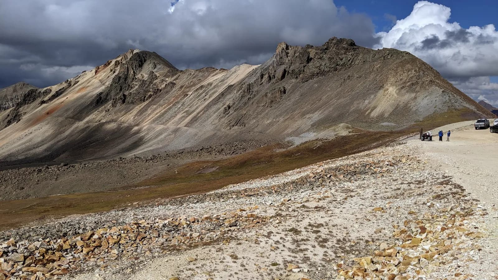
Oh! Point is a moderate hiking destination located in Ouray, Colorado, on the Western Slope. The trail sits at an elevation of 12,943 feet and typically takes about two hours to complete. The route branches off the Oak Creek Trail, approximately one mile above the South Fork trail sign, and proceeds directly to the point. The path is not well defined, requiring hikers to navigate carefully. Parking is available in a designated area near the trailhead. Pets are allowed on the trail. The location offers views of surrounding mountains, including a downward view of Mt. Abram to the west and proximity to Engineer Pass and Engineer Mountain. The site is accessible year-round, from January through December.
Trail profile
Gain
—
Avg grade
—
Steepest
—
High point
12,943 ft
Good to know
Parking at the trailhead
Dogs allowed on leash
Waypoints
No waypoints mapped for this trail yet.
What people say
Reviews
No reviews yet
Been here? Help the next person out.
Within 30 miles