Hiking · Animas Forks, CO
Animas Forks
Before you go
Live · nearest station Telluride, 13 miStorms are likely above treeline tonight. Start early and be off the ridge by midday.
Thunderstorms
Feels like 46°
Trailhead temp
40° est. at 11,172 ft
Storm chance
58% tonight
Wind
5 mph E
Distance
—
Elevation gain
—
High point
11,172ft
Season
Jan - Dec
About
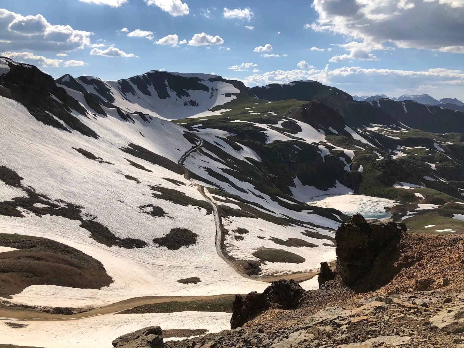
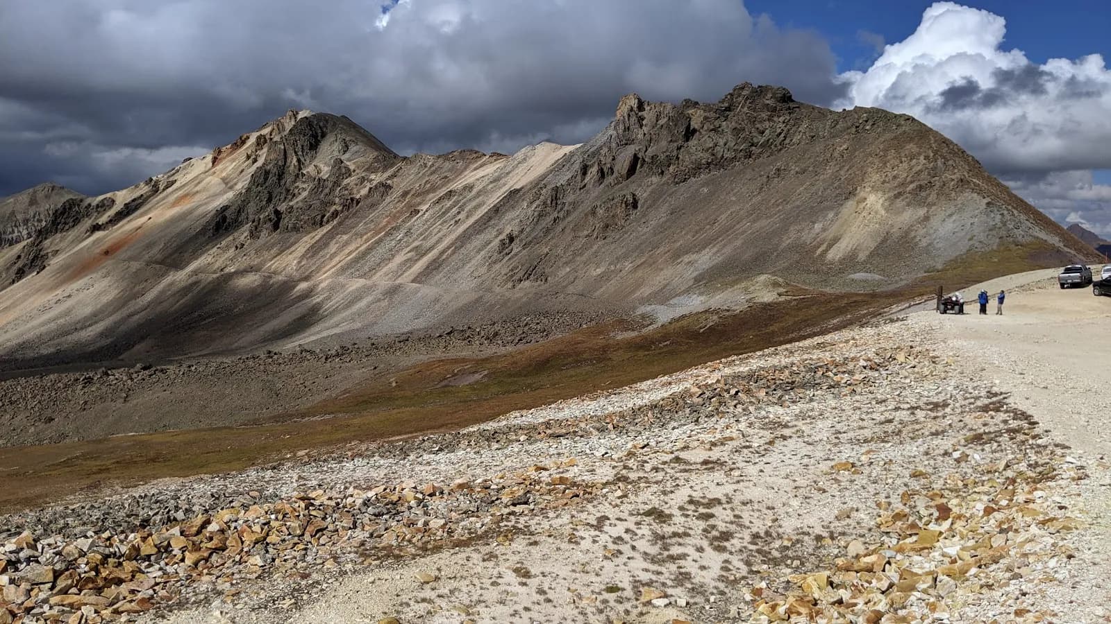
Animas Forks is a high-elevation hiking destination in San Juan County, Colorado, situated approximately 12 miles northeast of Silverton. The site features the remains of an 1870s silver boom ghost town, managed by the Bureau of Land Management. Located at 11,172 feet, it is one of the highest mining camps in North America. The area offers moderate difficulty hikes with a typical duration of about two hours. Parking is available at the trailhead, and pets are permitted on the trails. The location is accessible year-round, though winter conditions often bring snow and ice to the high elevation route. Hikers can access the town via a system of roads known as the Alpine Loop, with some routes requiring four-wheel drive or high-clearance vehicles to reach trailheads like Cinnamon Pass. The terrain includes historic mining remnants, scenic mountain vistas, and nearby peaks such as Animas Forks Mountain.
Trail profile
Gain
—
Avg grade
—
Steepest
—
High point
11,172 ft
Good to know
Parking at the trailhead
Dogs allowed on leash
Waypoints
No waypoints mapped for this trail yet.
What people say
Reviews
No reviews yet
Been here? Help the next person out.
Within 30 miles