Fall Hiking · Silverton, CO
California Pass
Before you go
Live · nearest station Telluride, 11 miStorms are likely above treeline tonight. Start early and be off the ridge by midday.
Thunderstorms
Feels like 46°
Trailhead temp
33° est. at 12,919 ft
Storm chance
53% tonight
Wind
5 mph E
Distance
—
Elevation gain
—
High point
12,919ft
Season
Sep - Novin season
About
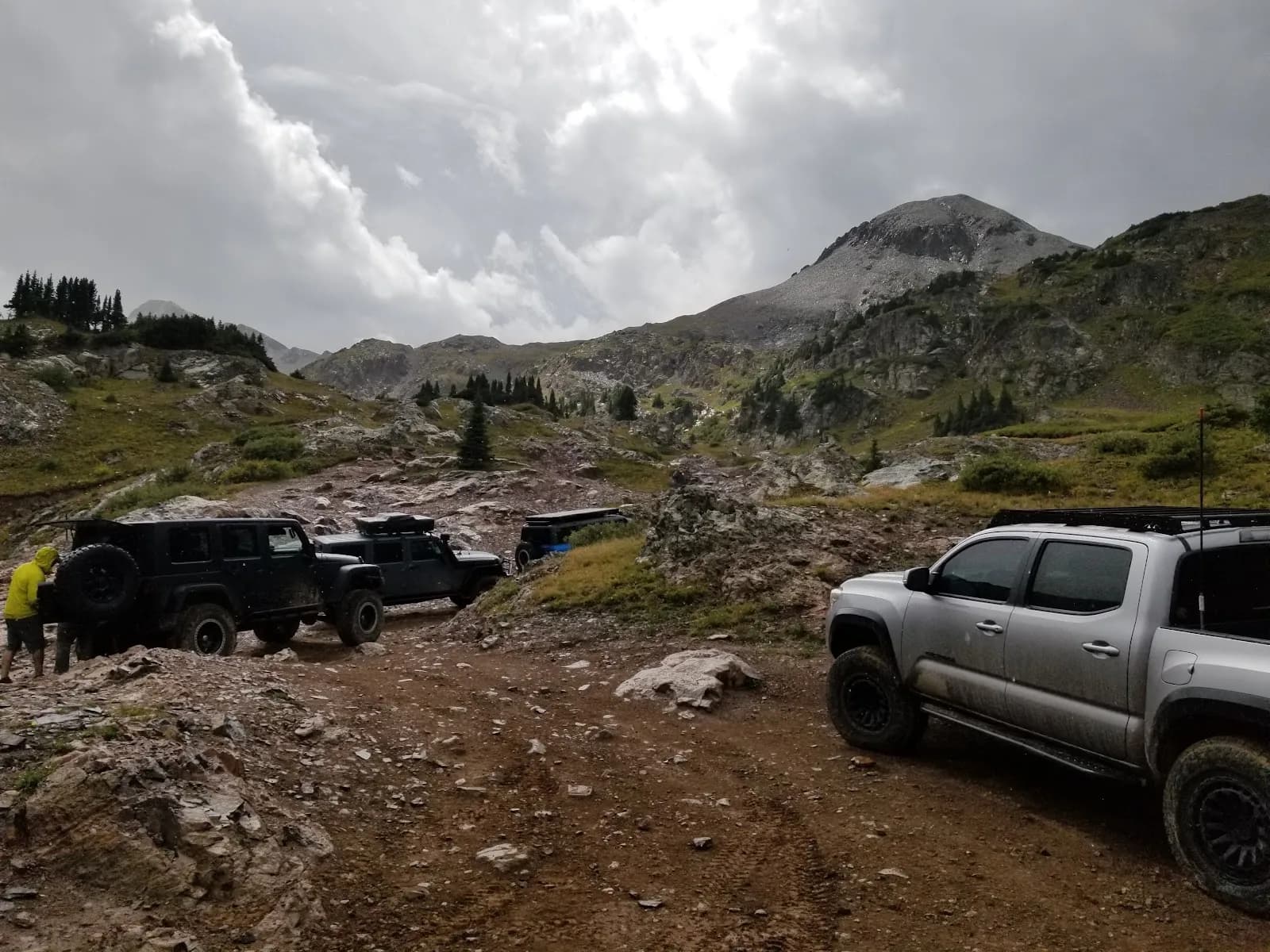
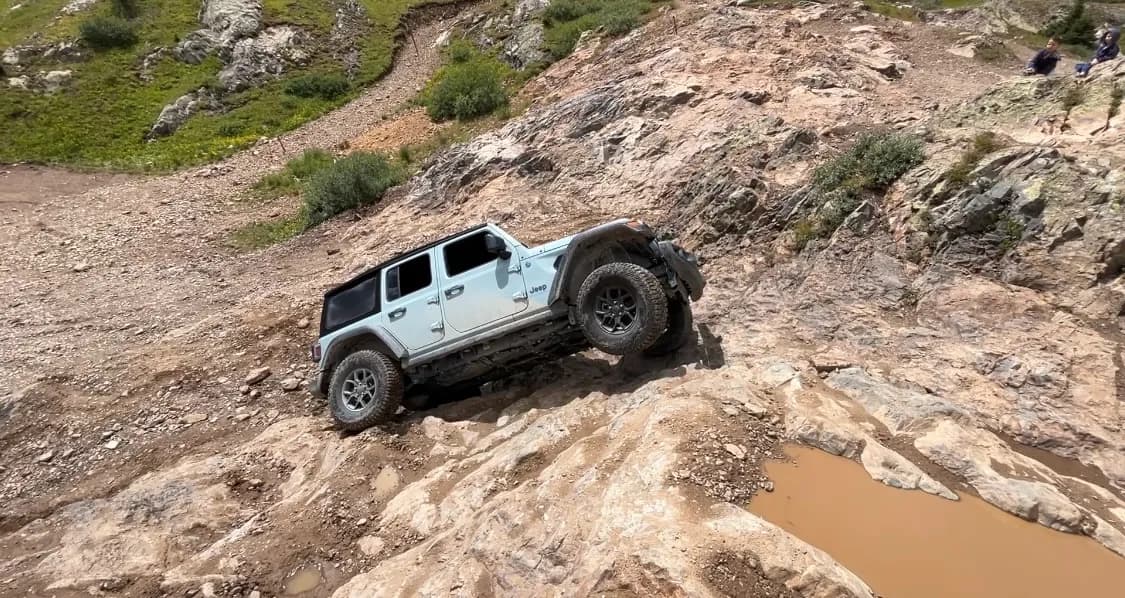
California Pass is a high-elevation pass near Silverton, Colorado, serving as a popular route for fall hiking and overlanding. The pass sits at an elevation of 12,919 feet, with some sources citing 12,963 feet. The trail involves a steady climb over rocky and potentially muddy terrain, leading to scenic views of the San Juan Mountains and Lake Como. The hike is classified as moderate and typically takes about two hours to complete. Access is available from September through November, with parking and restrooms provided at the trailhead. The area is pet-friendly. The road to the pass transitions from pavement to dirt, becoming more difficult as it ascends, reflecting its history as a gold transport route. Weather changes quickly, and the road is subject to closures due to blizzards.
Trail profile
Gain
—
Avg grade
—
Steepest
—
High point
12,919 ft
Good to know
Parking at the trailhead
Restrooms available
Dogs allowed on leash
Waypoints
No waypoints mapped for this trail yet.
What people say
Reviews
No reviews yet
Been here? Help the next person out.
Within 30 miles